
Unrecovered Time
A walk from Leeds to Goole

A walk from Leeds to Goole, via the River Aire, the Aire and Calder Navigation, the Knottingley and Goole Canal, the New Junction Canal and the Dutch River, 6.45am to 9.52pm, Friday 26 September 2025.
The walking begins at 4.42am, three miles from Hillsborough to Sheffield station, out of the house into a stop-start sprint and the rucksack as light as I can make it. Langsett Road, Infirmary Road, West Bar. A walk before the walk. 5.18am when I reach the platform. 5.28am when the train departs.
It’s a local stopping service, Chapeltown, Elsecar, Wombwell and the rest, eleven stations from end to end. The carriage is empty when I board and only half-full when I leave. I unfold and refold the maps, the Explorers and the Landrangers, repack the rucksack, and drift in and out of sleep.
6.42am. A few minutes late into Leeds, slowing into 17b, a dead-end platform, a queue for the escalator. I take the stairs and turn right on the footbridge, then down, the stairs again, the ticket barriers, another right, and out, onto New Station Street, to drop into a gap under the arches.
Out of the arches, and I have no directions, so I cross and recross the corporate squares to the south of the station, Swinegate, is it, or Sovereign Street, the auditors and advisers give nothing away. After a few minutes the buildings start to break down and I work out a way to the water.
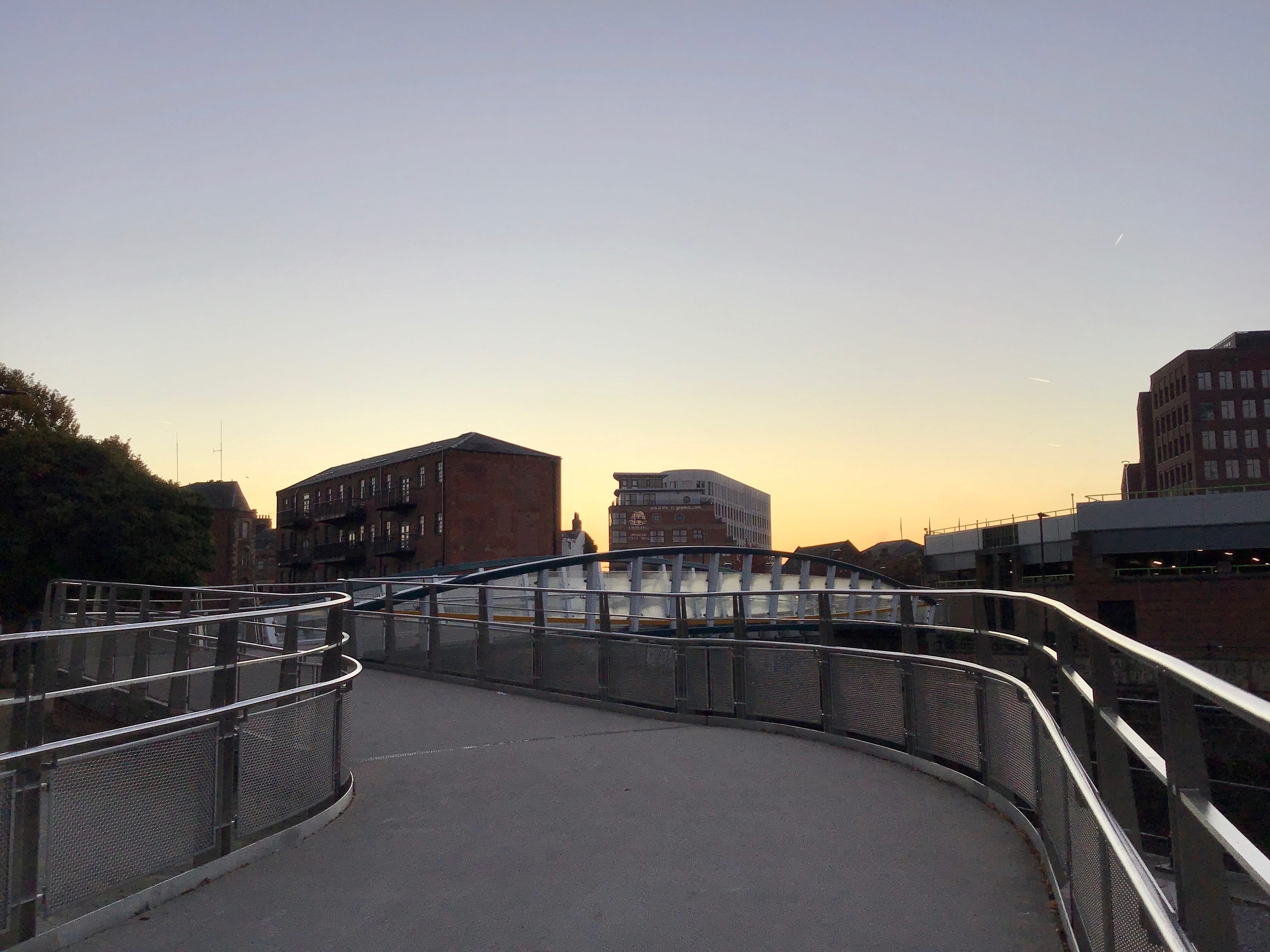
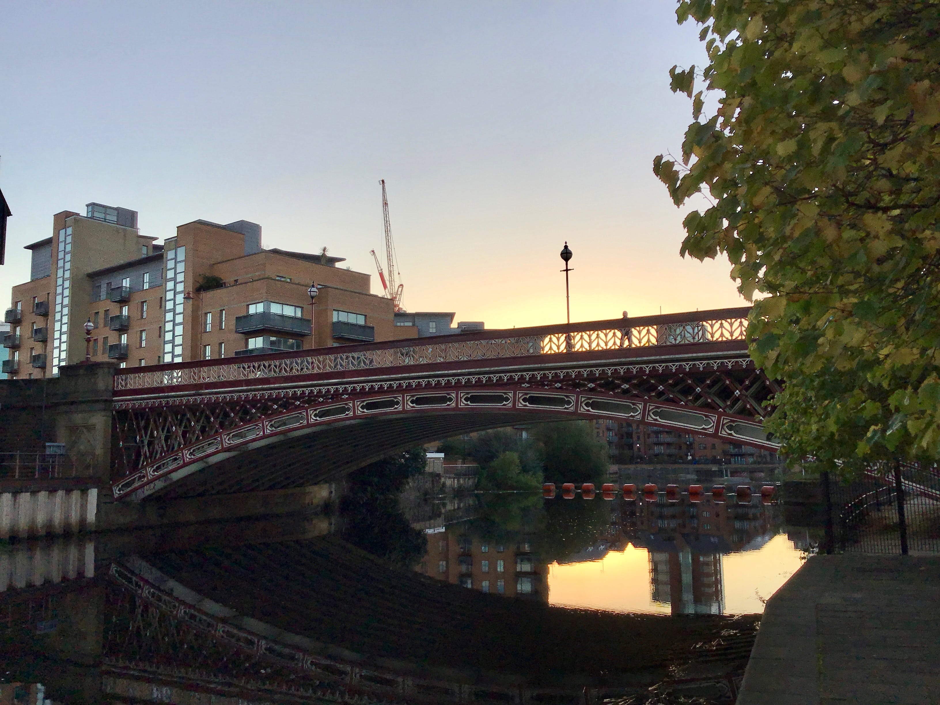
6.58am. I unshoulder my rucksack and set it on a bench outside Brasserie Blanc, silent, dark and still, and sip water and watch the light move across the Aire, the light of first things, the light of possibility, then pick up my belongings and cross the David Oluwale Bridge.
David Oluwale was a British Nigerian who, after years of homelessness and harassment by Leeds police, was pursued towards the Aire by two uniformed officers in the early hours of 17 April 1969. His body was recovered from the river on 4 May 1969, close to Knostrop Weir, two miles downstream.
A subsequent inquiry and trial (which led to the prosecution and imprisonment of the two officers) established that Oluwale was a regular target of verbal and physical abuse during night patrols. Other officers were also implicated in this systemic harassment, but not charged.
A renewal of interest in Oluwale’s story led to the foundation of the David Oluwale Memorial Association in 2012. In April 2022, DOMA and Leeds Civic Trust unveiled a blue plaque for Oluwale on Leeds Bridge. The plaque was then repeatedly stolen and vandalised. It was reinstalled in October 2022.
In January 2023, Leeds City Council opened the David Oluwale Bridge, between Victoria Bridge and Leeds Bridge, as part of the phased redevelopment of the area. The bridge was constructed by BAM Nuttall and its design was developed in collaboration with DOMA and the city council.
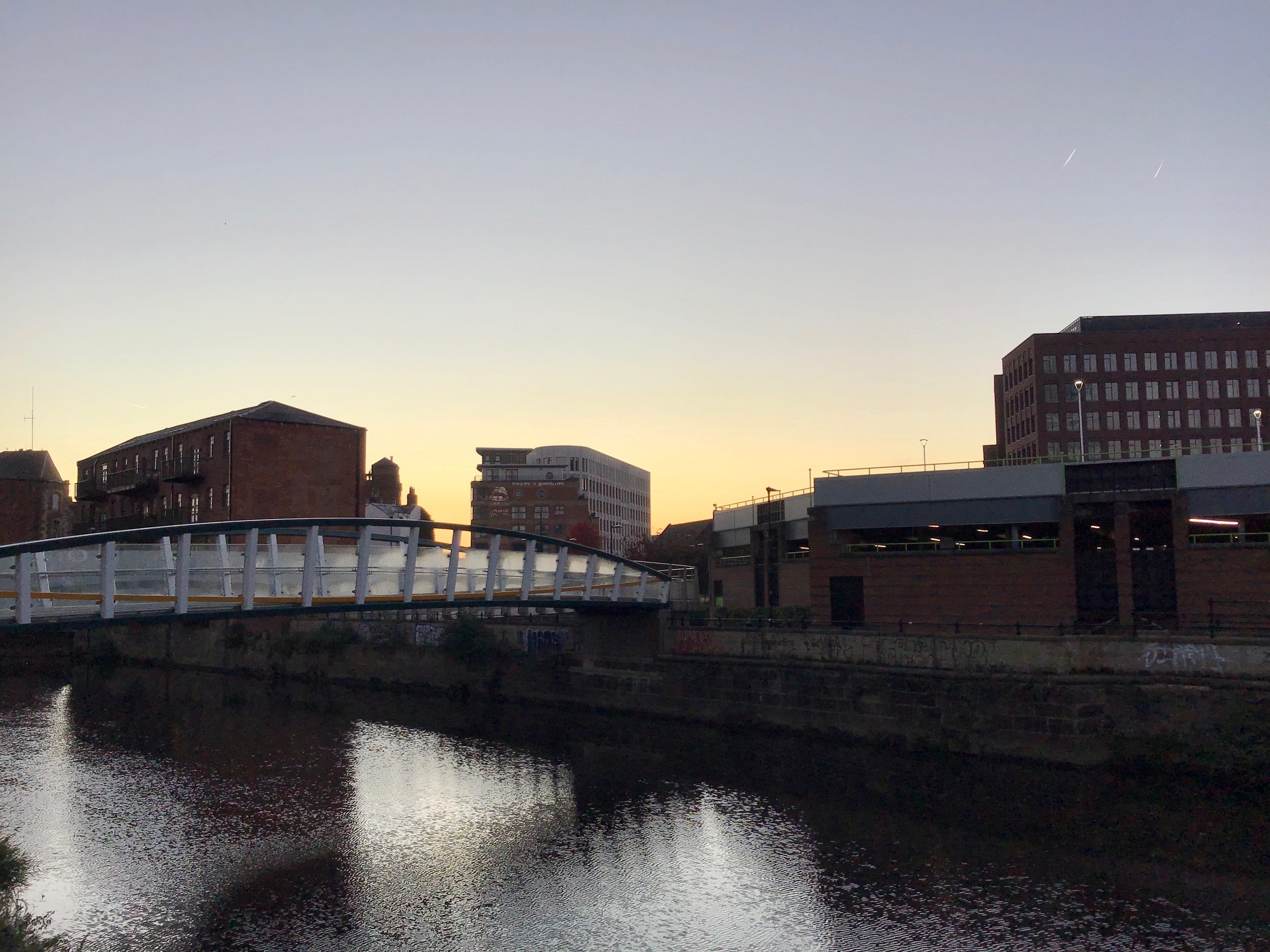
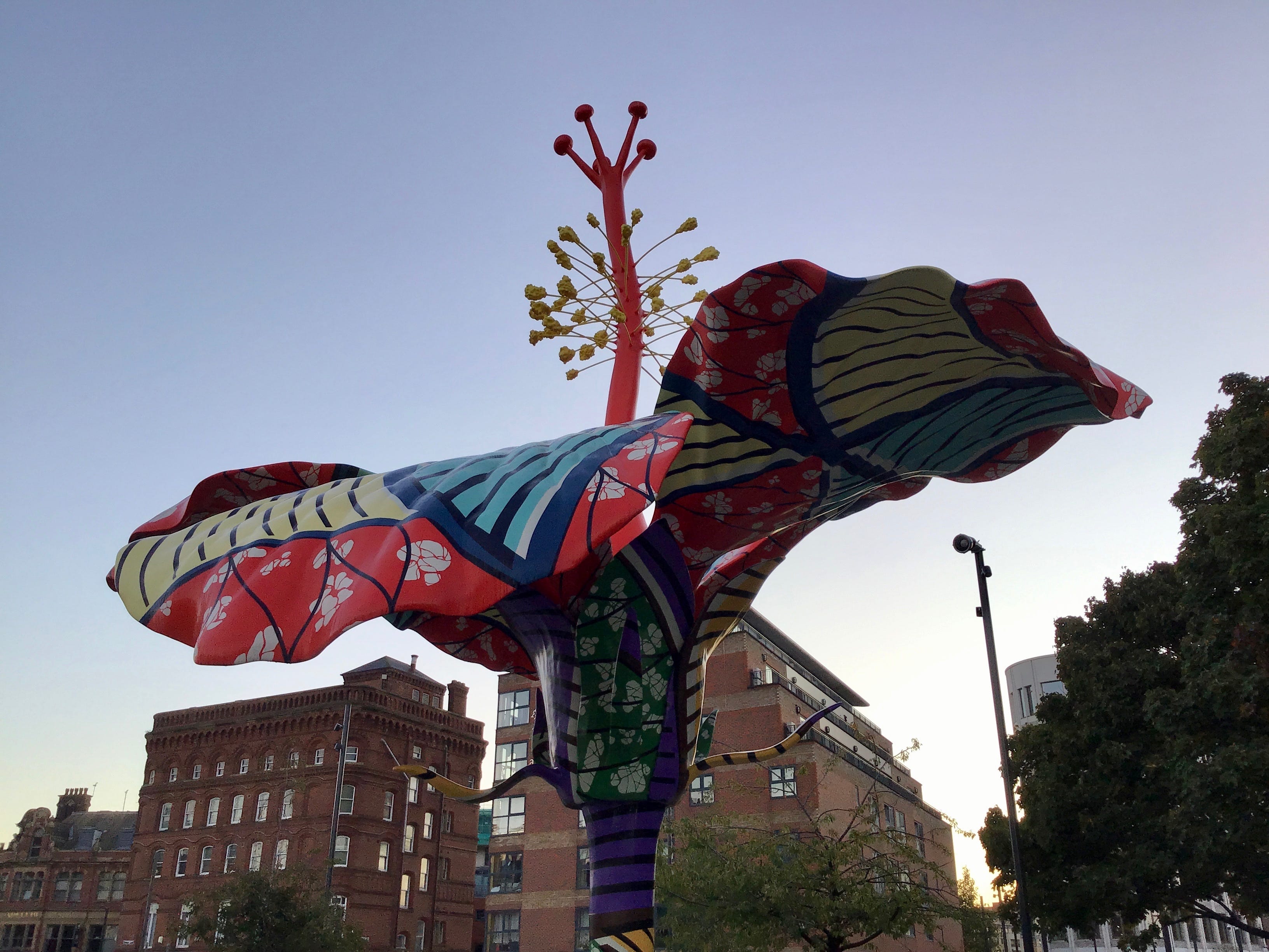
The footbridge leads to a pedestrian crossing on Meadow Lane which, in turn, opens into a pocket park, or a memorial garden, at the heart of which is Hibiscus Rising, a nine-metre tall sculpture by Yinka Shonibare, commemorating the life and death of David Oluwale, unveiled in November 2023.
I cross back to Water Lane, and see it as it was, in January 2013, when Emma and I joined a gathering at the river in memory of Oluwale, when there was only the river to remember him by. There were songs, poems, films projected on walls. It was a cold night, but it’s the warmth that I think of now.
7.10am. Past the Old Red Lion and a semi-derelict terrace and the five-way intersection at Bridge End. The Oluwale plaque is on the north bank. There’s no access to the river from here, so I head for Dock Street, the Adelphi on my right, Navigation Walk on my left, a permissive path on private land.
I make my way around and out of the wharfside apartments, Aire House, Calder House, then pass under the cabled footbridge where Emma and I stopped ten summers ago, or more, we were on our way to somewhere, and unhurried, it was a warm afternoon, and we stopped, everything seemed to stop.
One or two runners, a lone cyclist, and people walking to work, east to west, a few steps and then gone. I move aside to let them pass. An iron gate on the river path, an unnamed boundary, we take our turns, is it ever locked, I wonder. Victorian arch, lattice and parapets, backlit by dawn.
On the other side of the bridge I read short biographies of people from Leeds, on panels fixed to the railings of a riverside property, alongside two-tone, die-cut portraits. Leonora Cohen, suffragette and trade unionist. Gertrude Paul, the city’s first black headteacher. Joseph Aspdin, inventor of Portland cement.
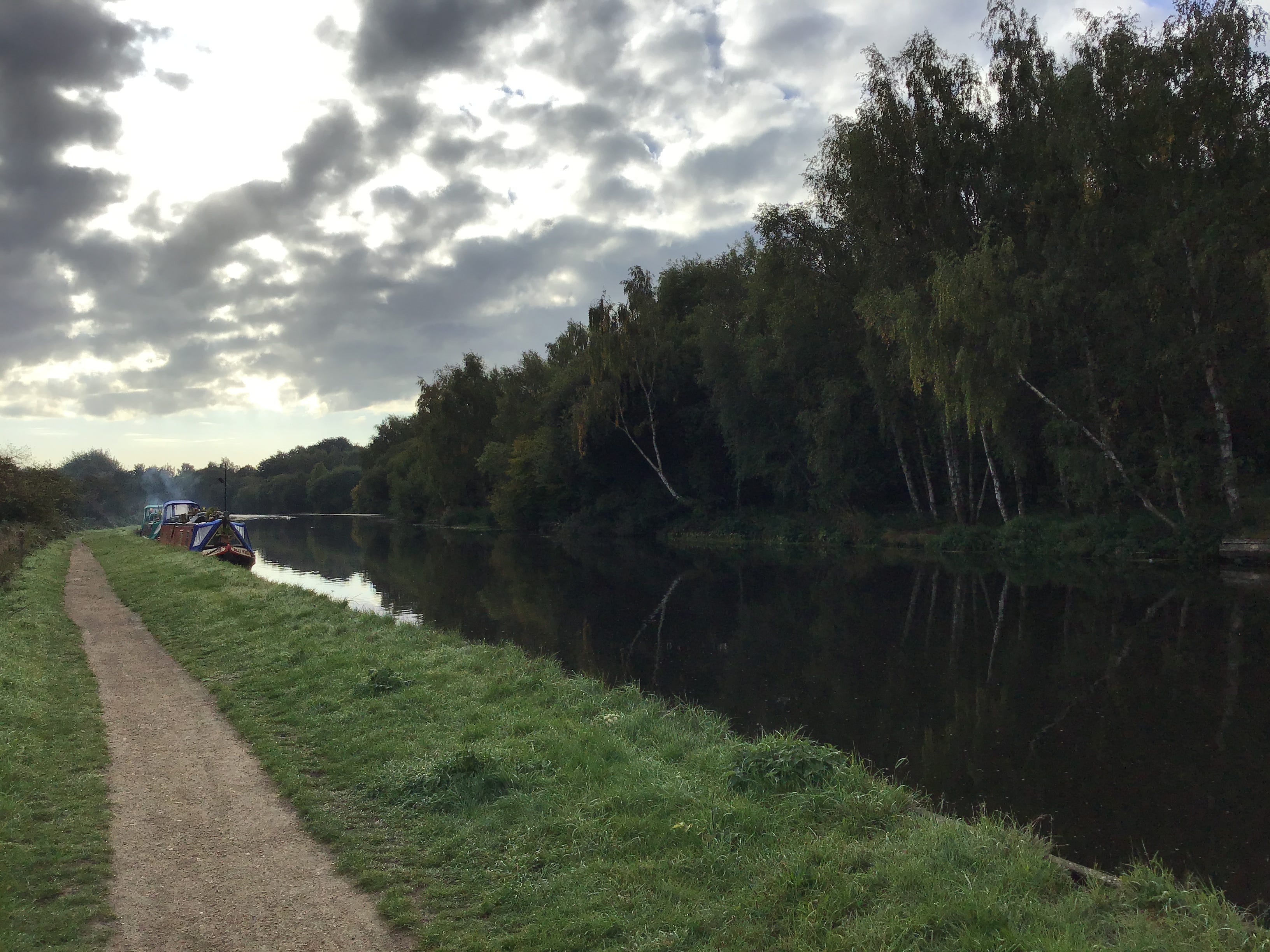
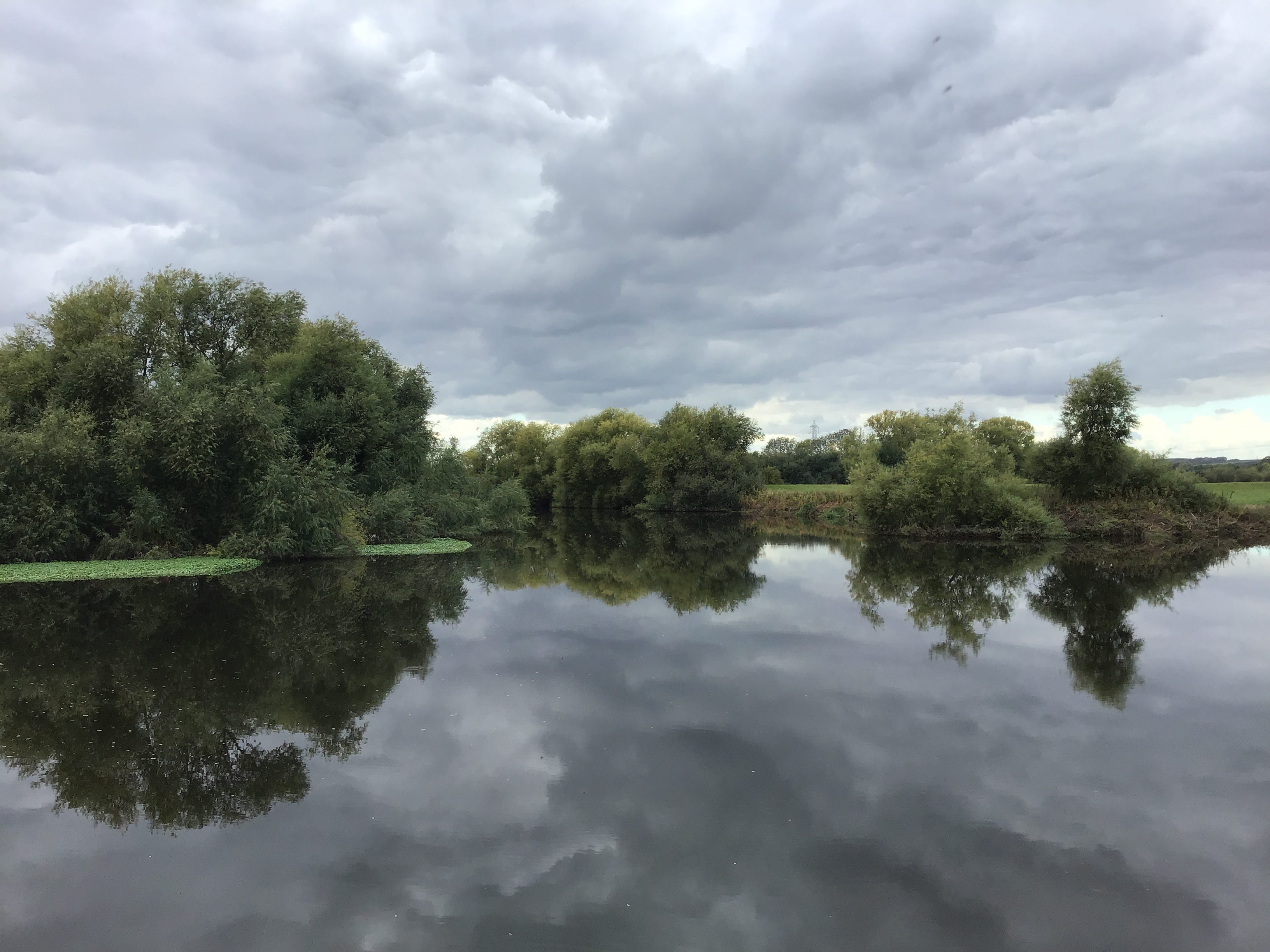
The Aire is partitioned by an artificial island, a remnant of the docks, another cabled footbridge in the near distance. A set of locks on one side and a white weir on the other. The heritage pathways, the Royal Armouries Museum, the light rising on the water and the glass and the steel.
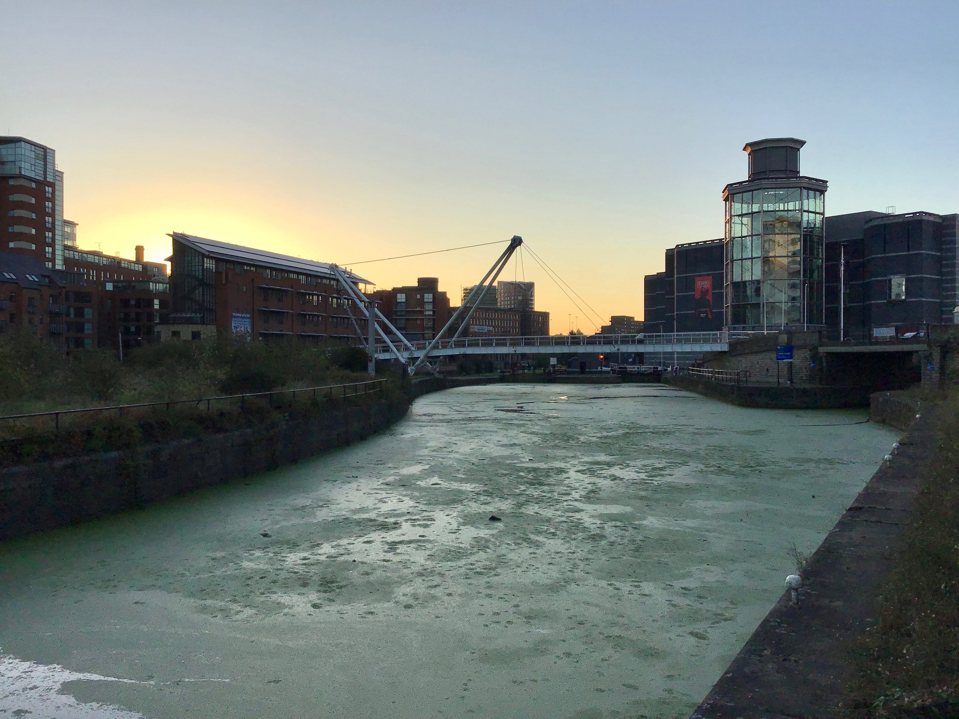
South of the Armouries, it rapidly falls away, the aspirational imagery, the wharf of the brochure, the mill of the future. The developments are modest and the towpath is quiet. The river widens almost imperceptibly. I think of Richard, a friend of thirty years, Richard, who died last Friday.
I have no new thoughts of Richard. Nothing comes to mind. On Sunday, when the news broke, and Monday, when it sank in, I thought of little else. The last time I saw him. The last time I heard from him. The accounts exchanged with others. Old acquaintances, perfect strangers. All at a loss.
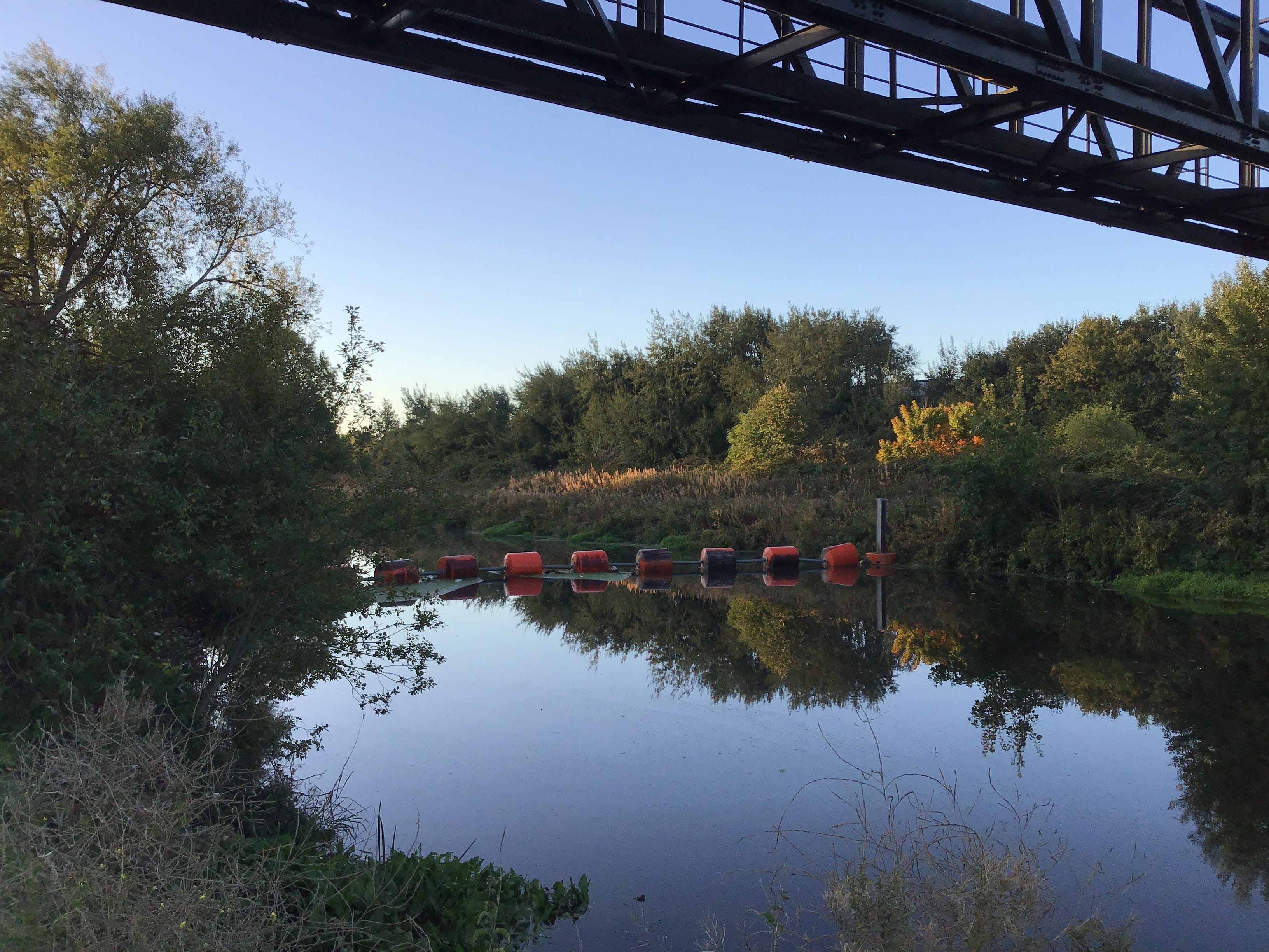
7.40am. Another set of locks, and a set of footbridges, lifting the path from the industry on the south bank. I cross the first bridge, pausing to survey the island garden on which both spans rest, then the second, and head east along the north bank. Clean asphalt, mature trees, limited views.
I tilt my head to the left, some sort of plant in the distance, cement or mortar, I see only vegetation, wire mesh, and the intermittent signage of GB Railfreight. I tilt my head to the right, the river like a broken thread, snagging on something that I can’t see. I step down to the bank.
7.50am. The wire mesh cuts away, ninety degrees, more or less. Square, fold and wrap. The vegetation clears and the river draws near. A string of buoys, a pipeline, a seam of gold in the undergrowth. The moment passes and the mesh reappears, on both sides, with only the asphalt ahead.
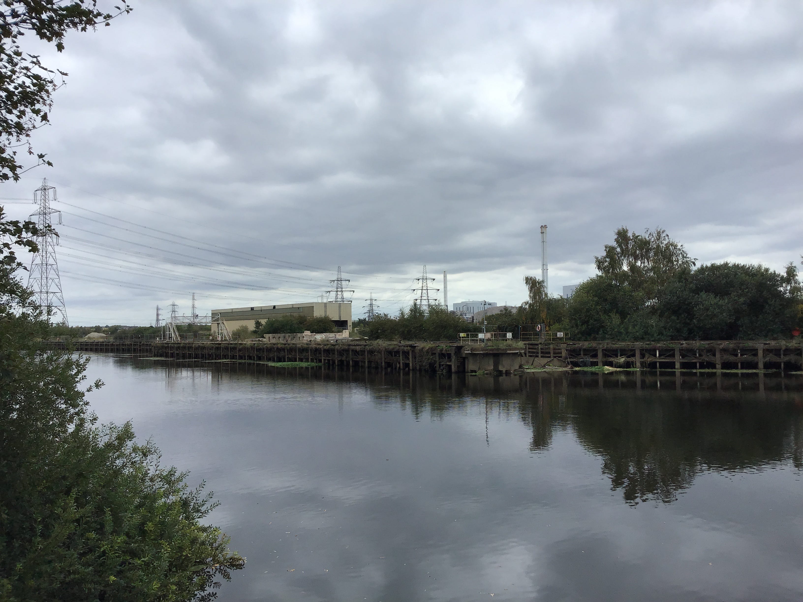
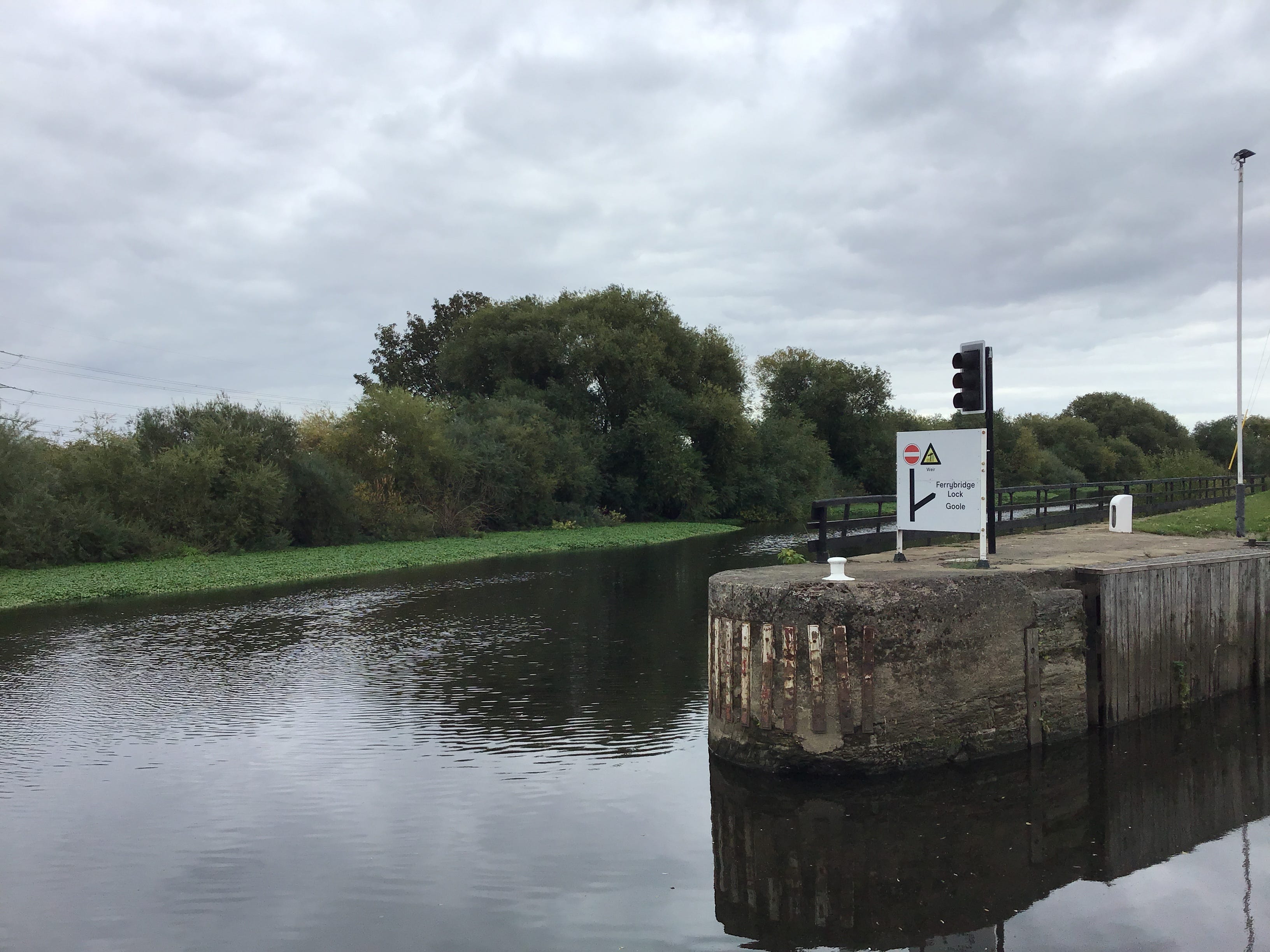
Pylon and scrub. I forget the river and then it wrinkles white as if caught in machinery. Another weir. The asphalt rises on a slight, brief incline, the path is taken up by concrete, then softens to a footbridge curving over the non-navigable part of the Aire, the weir almost directly below.
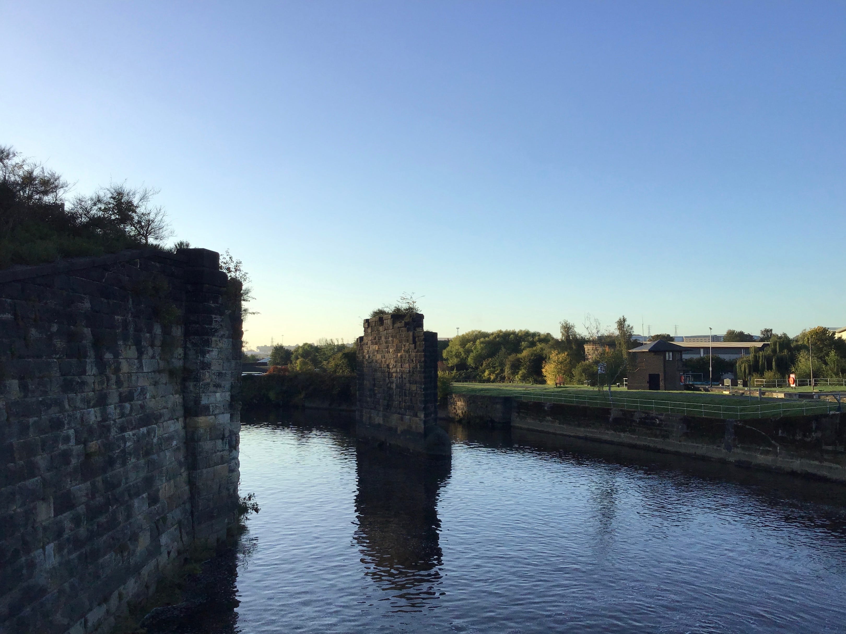
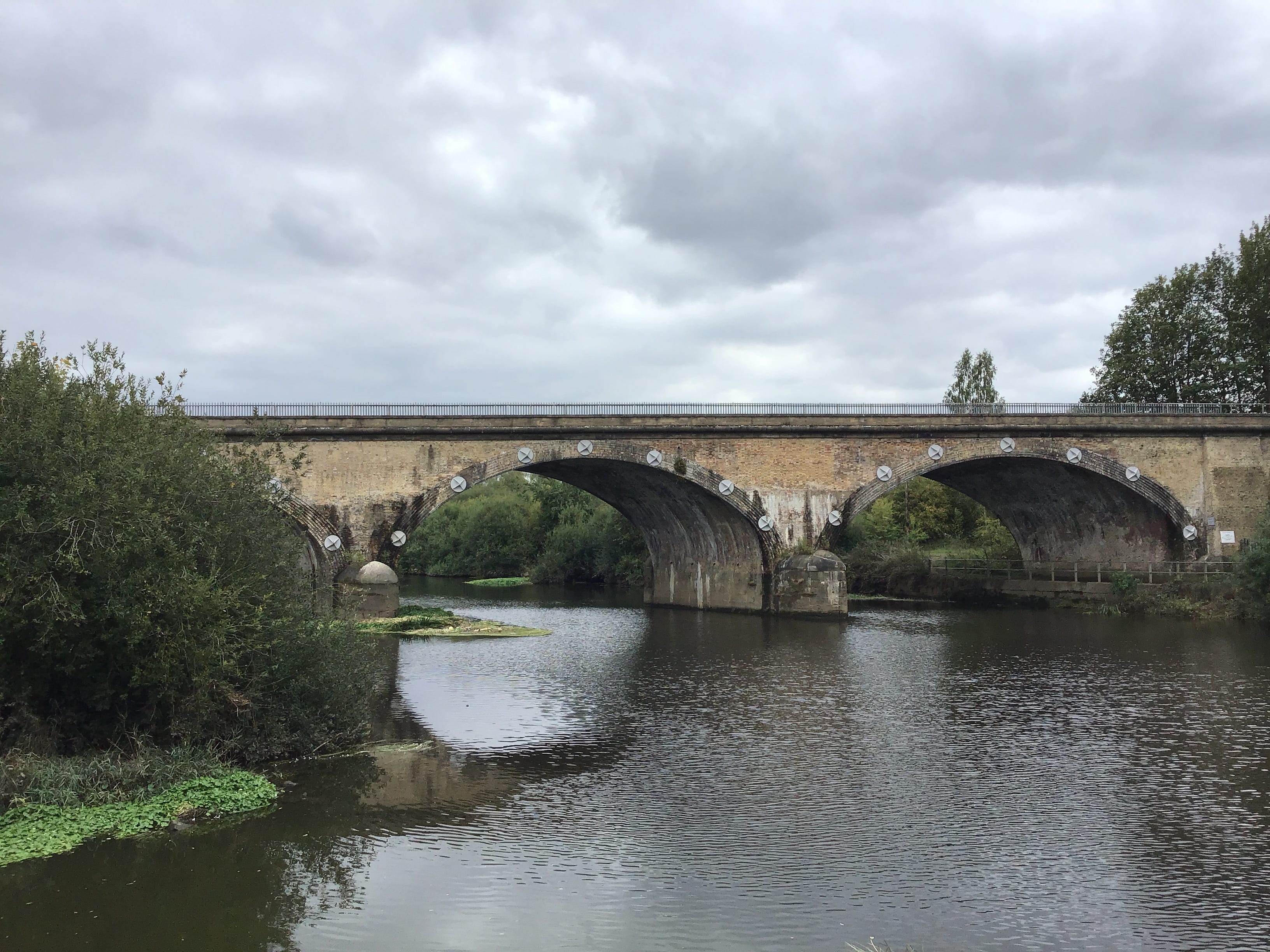
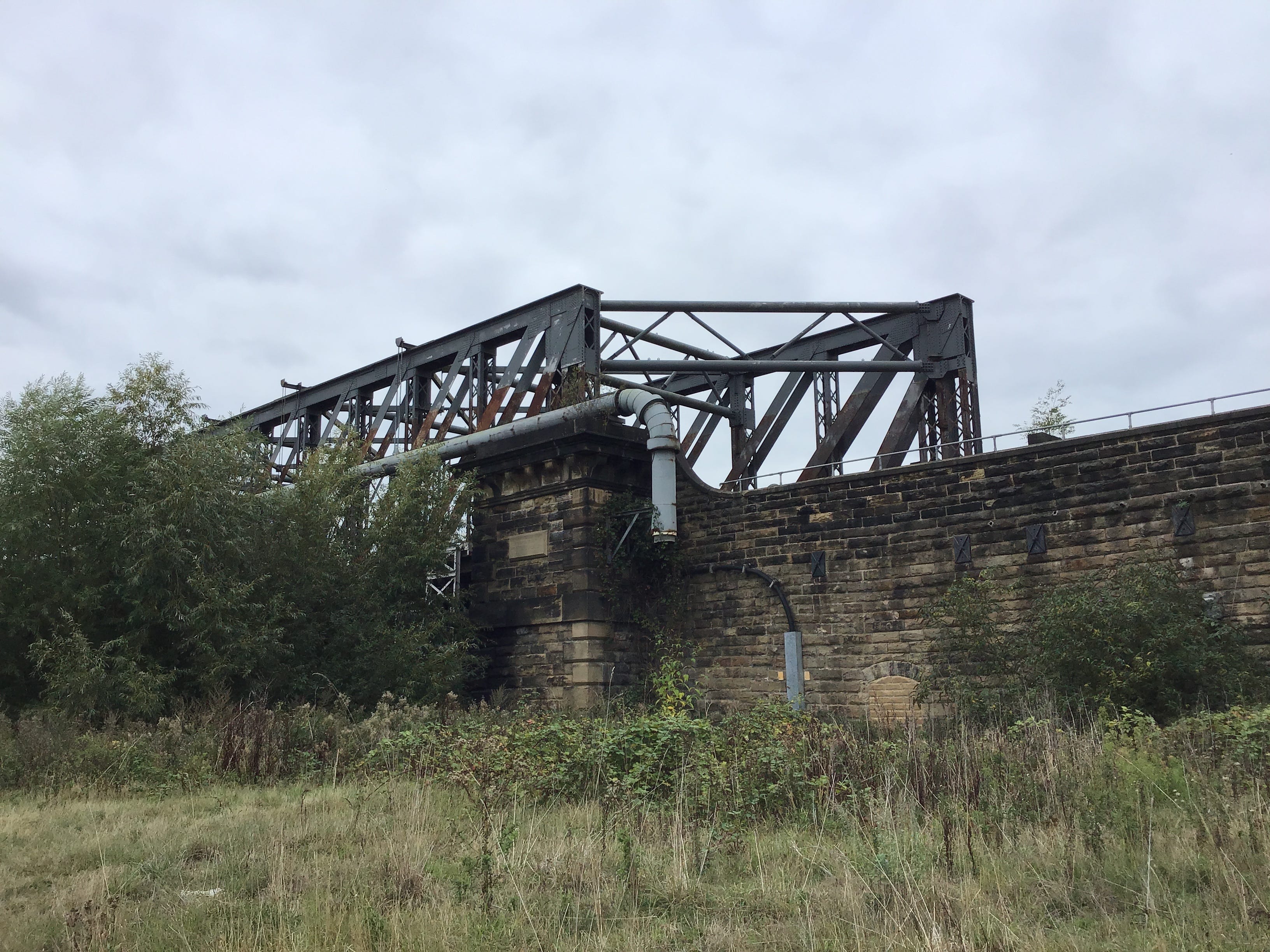
I step off the bridge, walk out to Knostrop Lock, set down my rucksack and stare back at the bridge, the weir, the edges of a city two miles upstream. I photograph the stone and brick abutments of a Victorian railway bridge somehow still standing in the Aire. Unrecovered time.
Asphalt track, short grass, managed vegetation. A linear park. I continue east, between the Aire and the navigation, and see a small stone circle a few feet from the path. The stones were carved less than three decades ago. The space is used by Leodis Pagan Circle. I take no photographs.
To make a place here, to find peace here, north of the canal, south of the river. Here or anywhere. The messages, to Richard, wishing him peace, wishing him rest, are wishes for a place that he never knew, never got to, a place in which one, at last, makes one’s peace. With whom. With what.
I don’t know. None of us know. Thwaite Watermill ahead, the limit of a walk that Emma and I took in 2014, it was the first day of January, and it rained continually, but we were happy, as though the trail had been laid out for us alone, we had the world and each other, what more did we need.
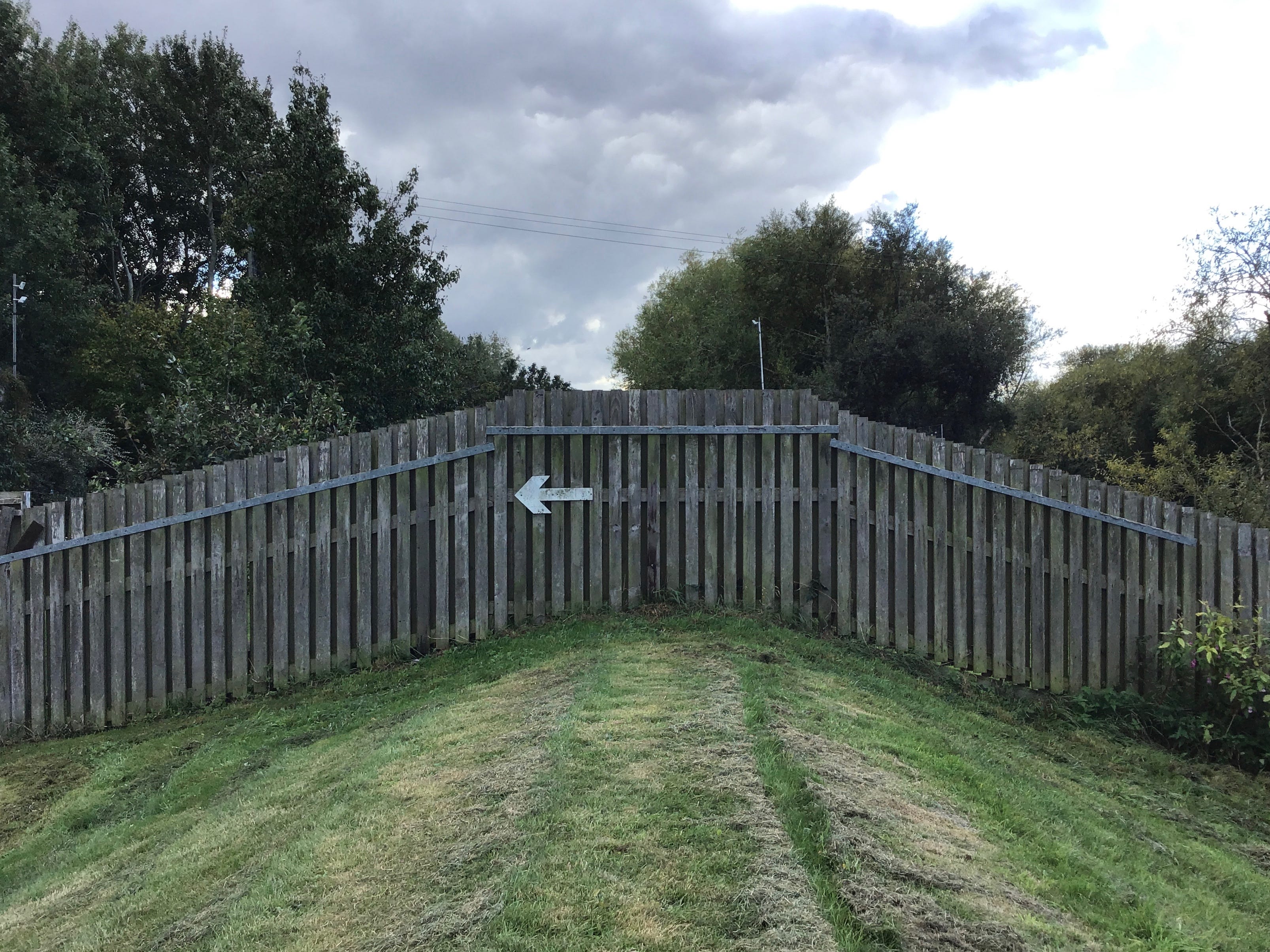
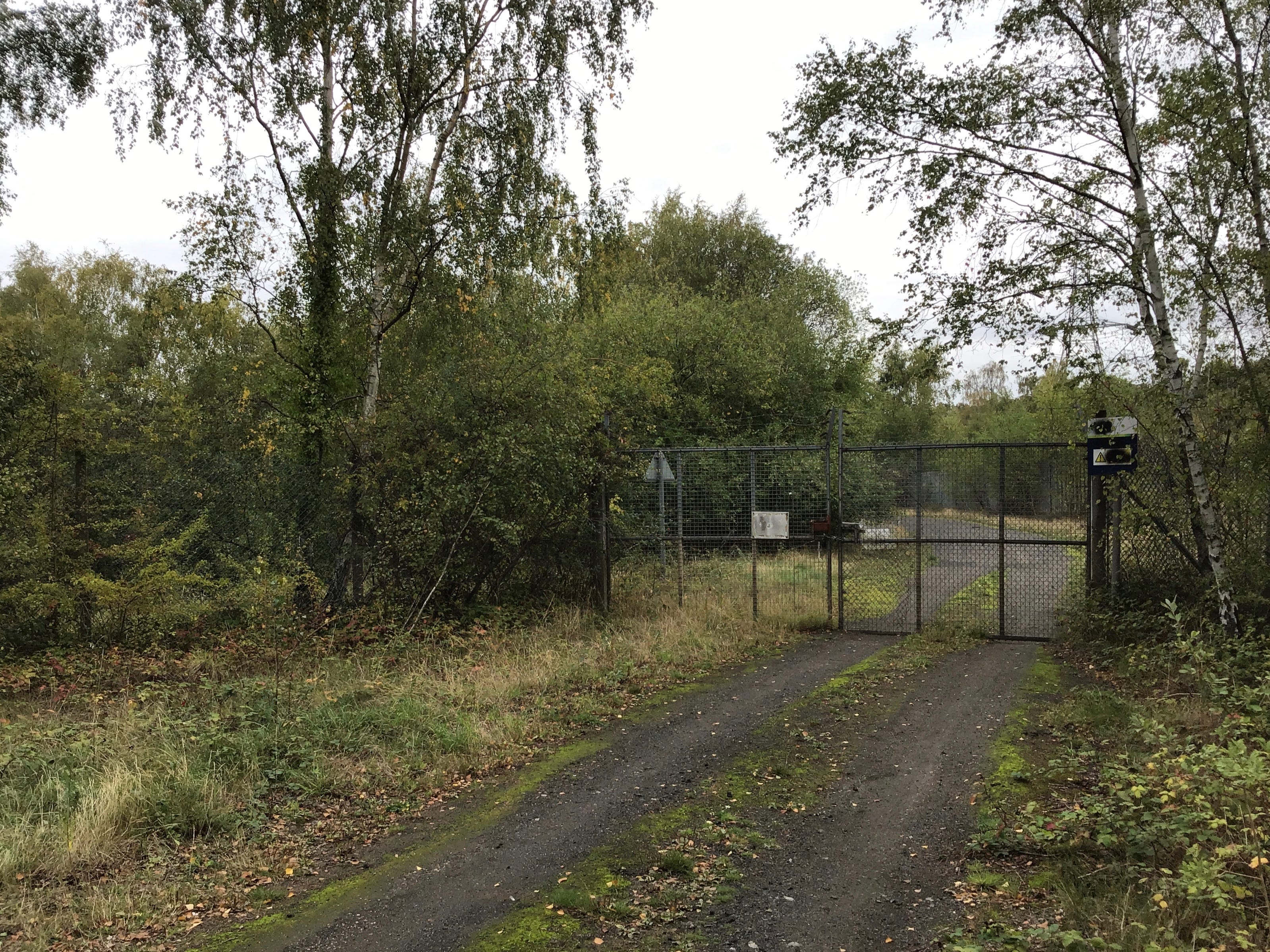
The path through the watermill is closed so I turn right onto the road bridge and cross to the south bank of the canal. The map suggests a left but I see no markers for the trail. The left turn is a gated road, the land either side is fenced, the signage is hostile. I take the left turn anyway.
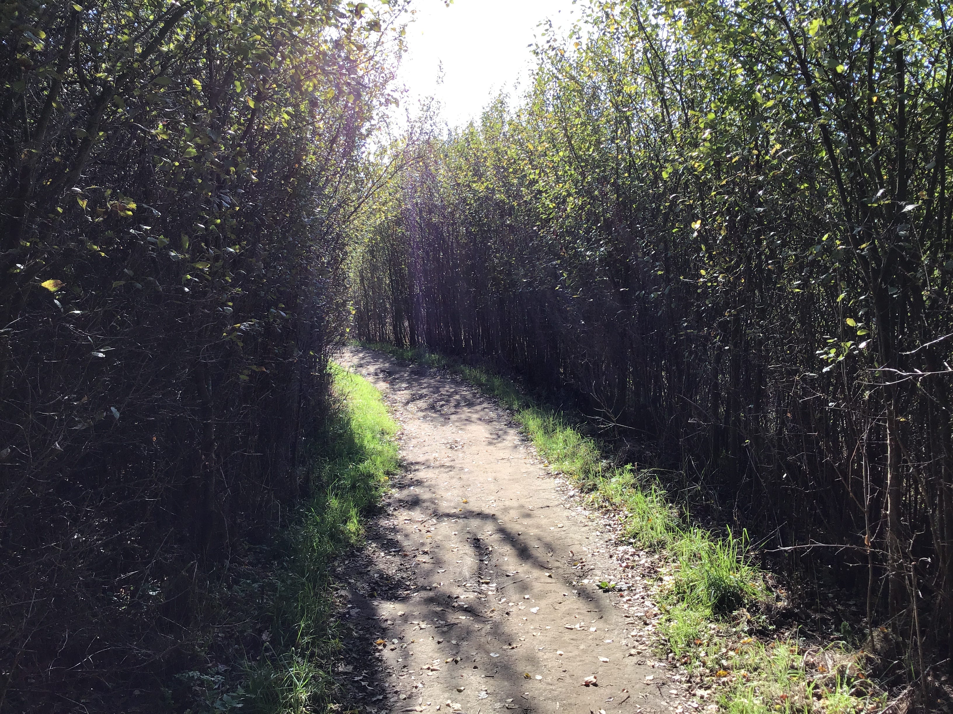
Asphalt track, wooded embankments, white and yellow marker posts, here lies the pipeline, propane and butane. After five hundred feet the path loops back to the water. Canal boats, rowing boats, a view of the old mill. There’s a postcard in this, one that I can’t write, one that I can’t send.
8.15am. The path withdraws from the navigation and falls back into the wood. Leaf light of the morning, soft and sieved, all the shadows on the trail. Another path cuts in, from Stourton, to the south. A bridge just ahead, flanked by pylons. There is no path but this one. I climb up to meet it.
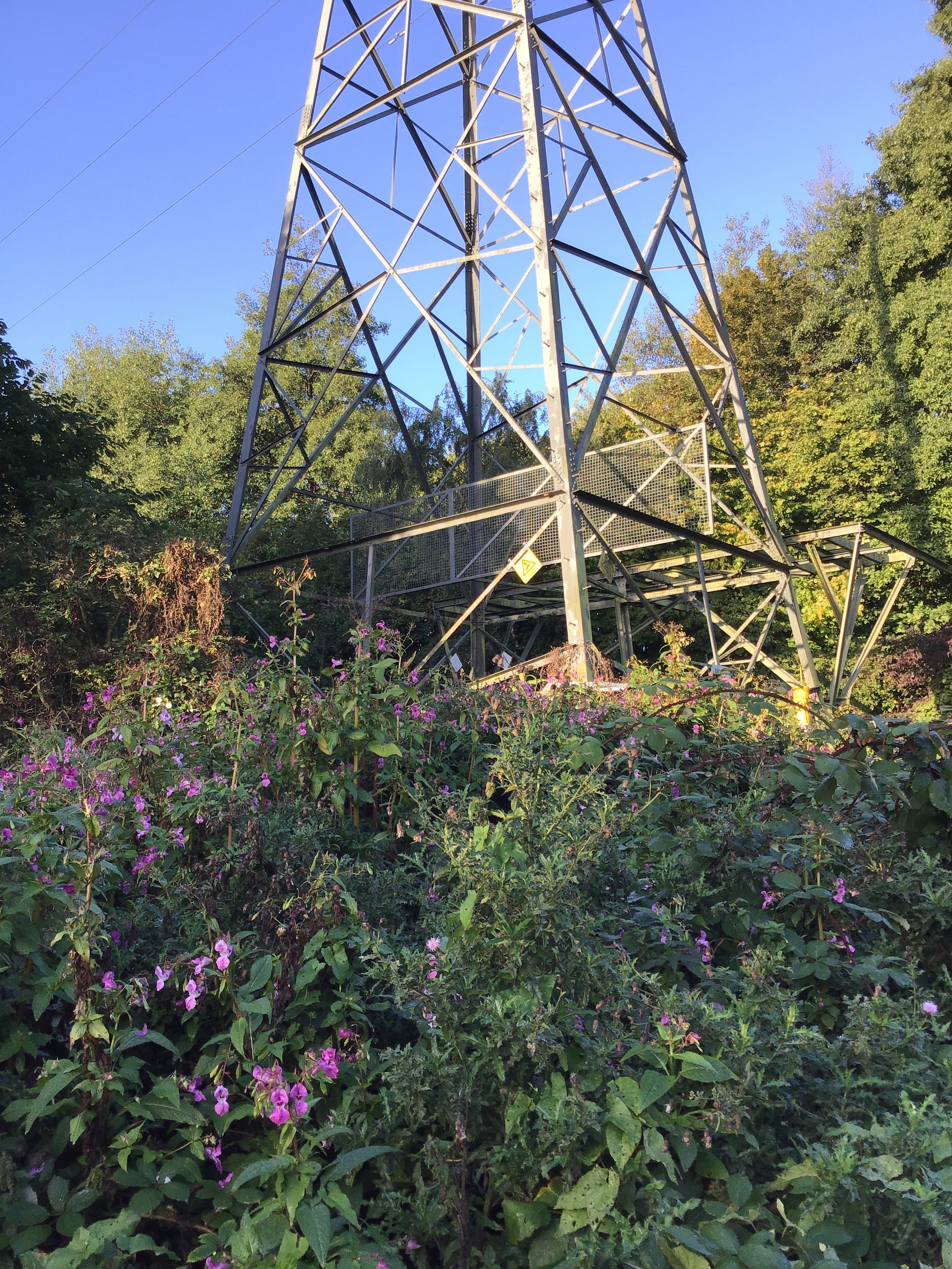
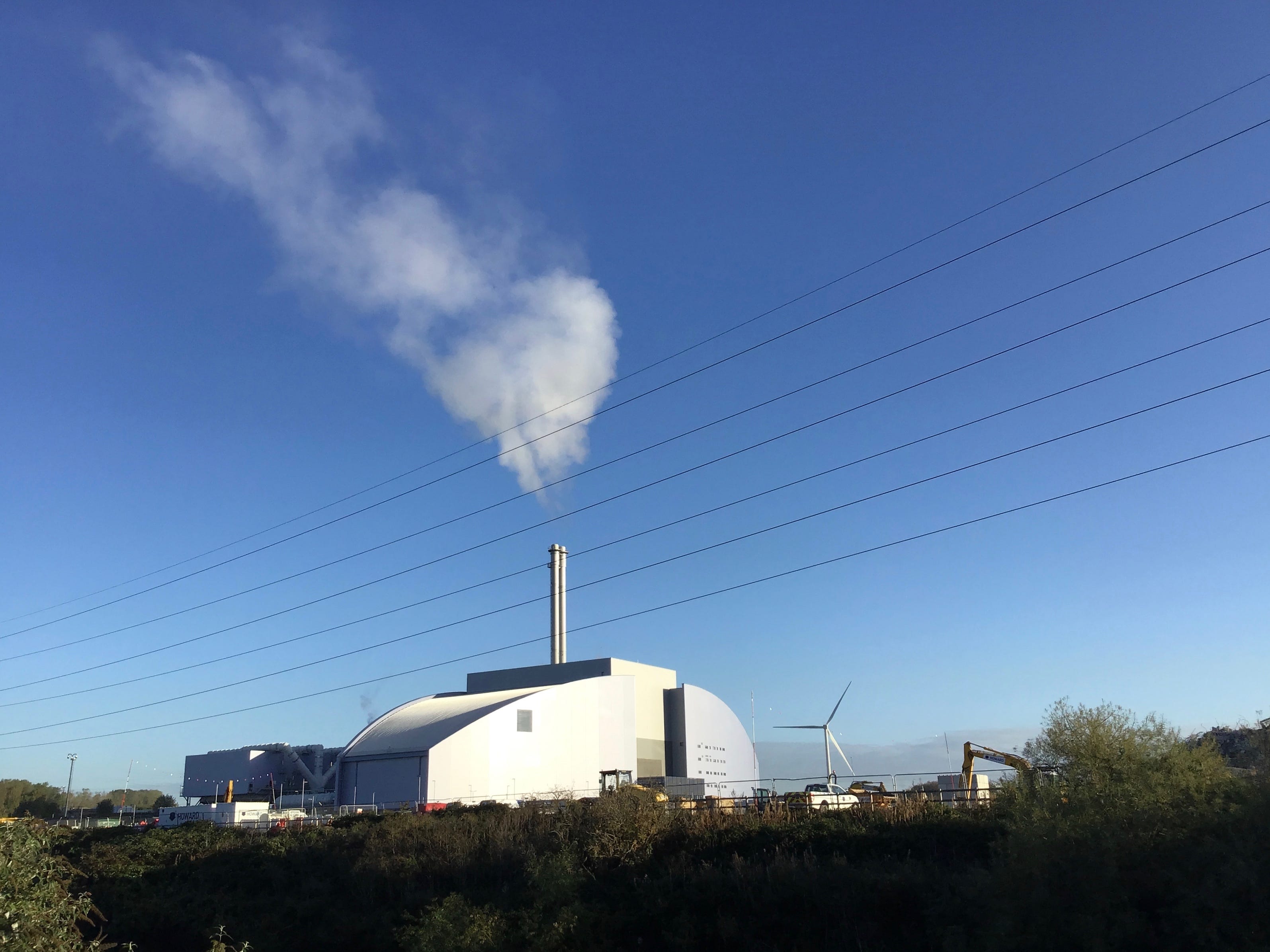
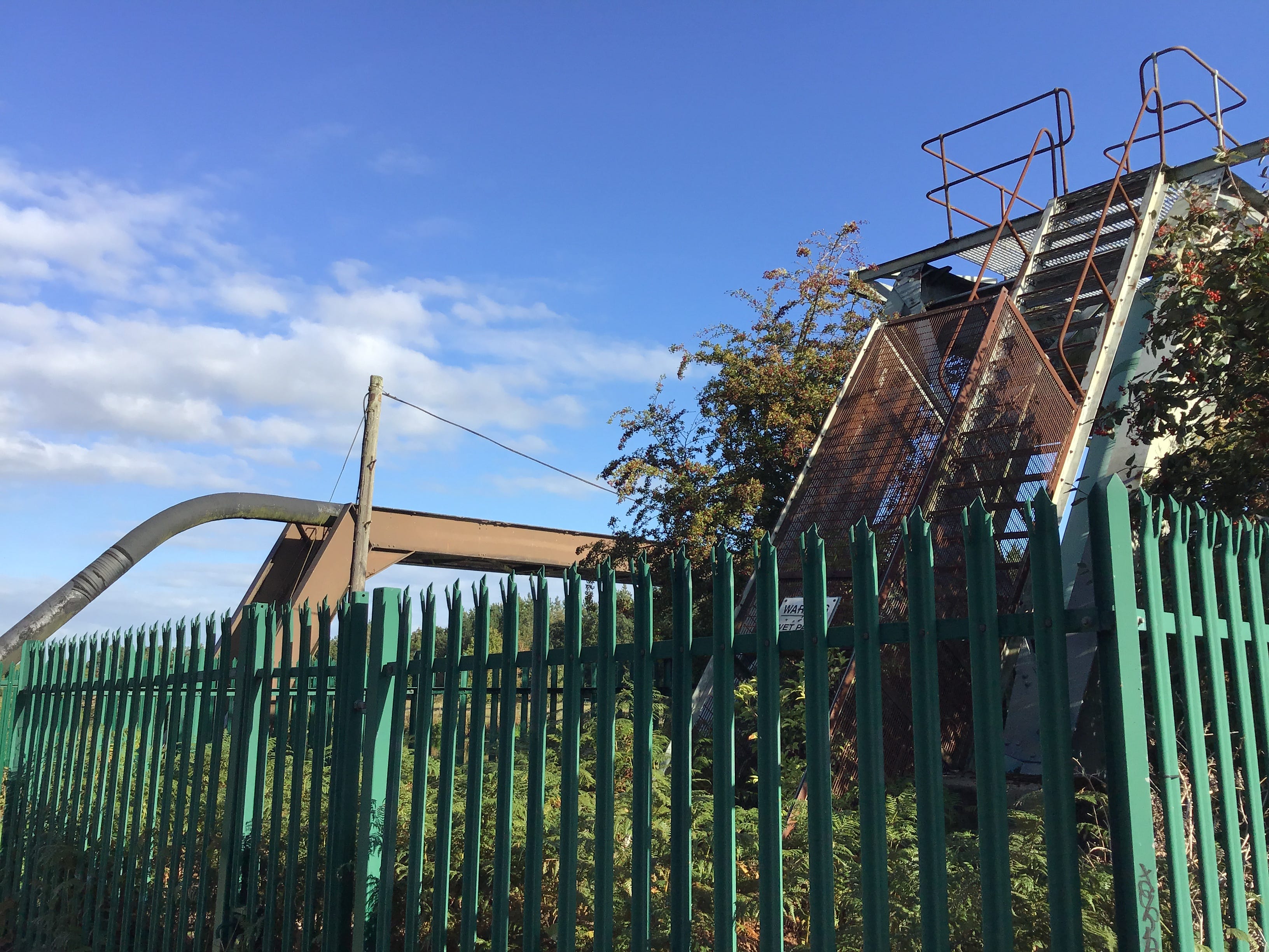
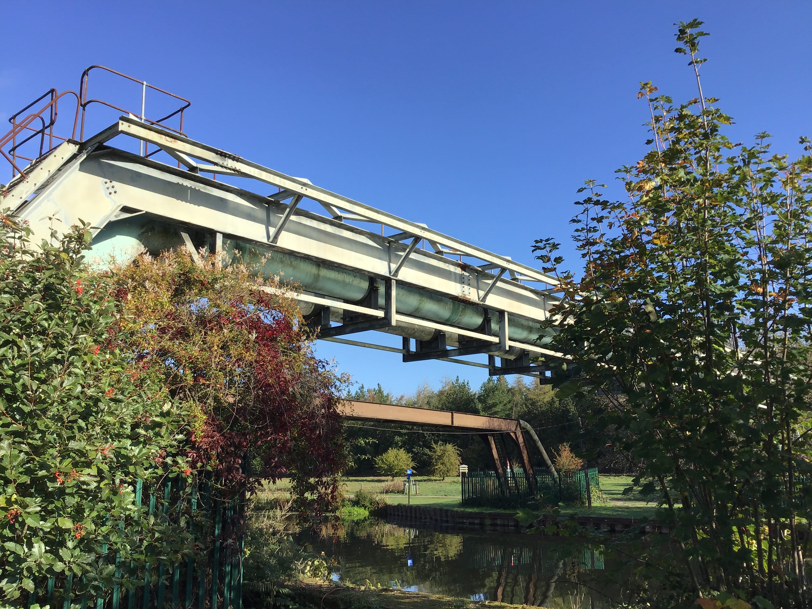
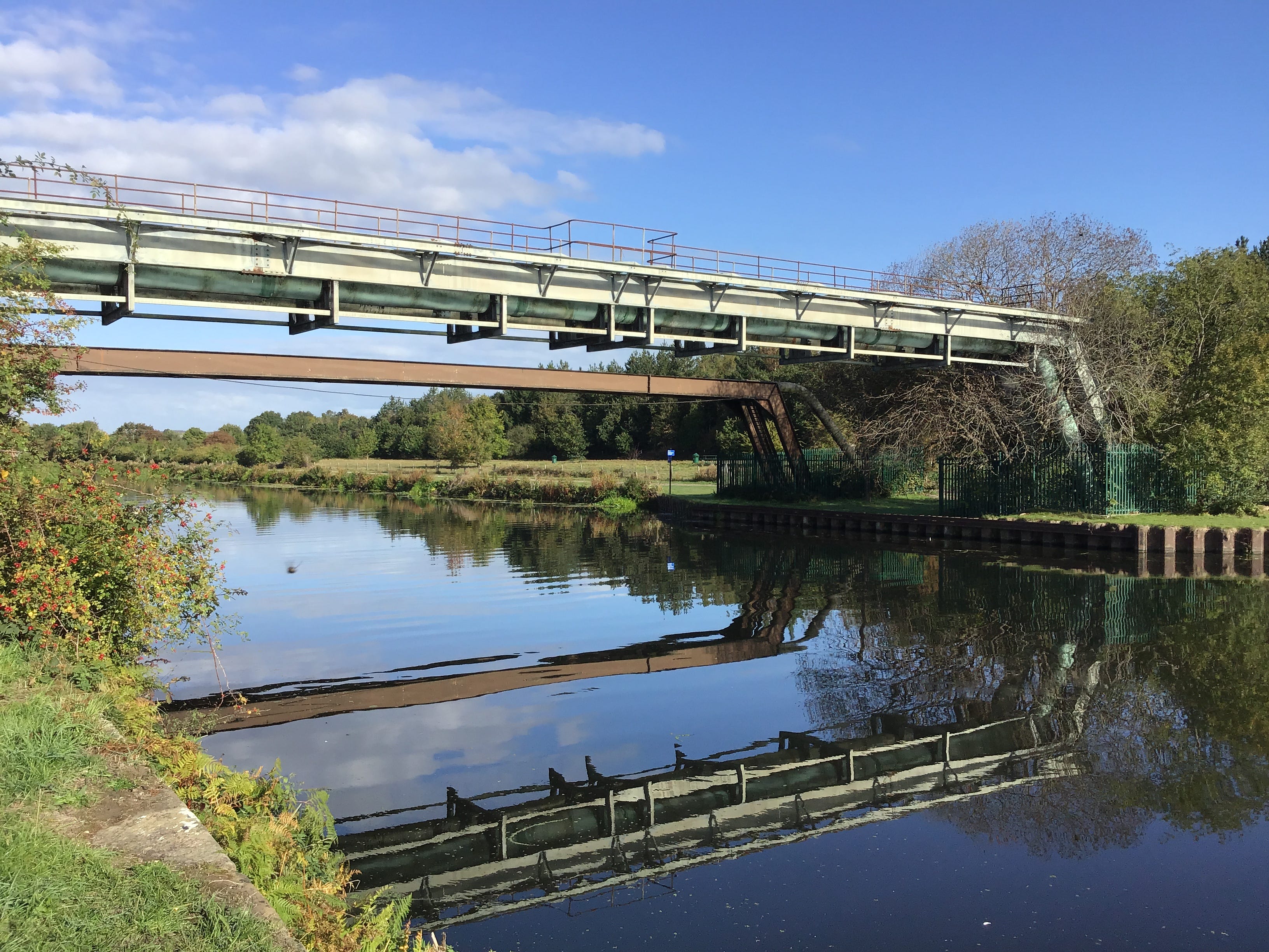
The bridge is a road bridge, a set of concrete steps leading down to the north bank of the canal, where the trail picks up again, while the road terminates in a substation on the north bank of the river. Smoke, no, steam. It is hard to gauge the extent of the site. There are no people for scale.
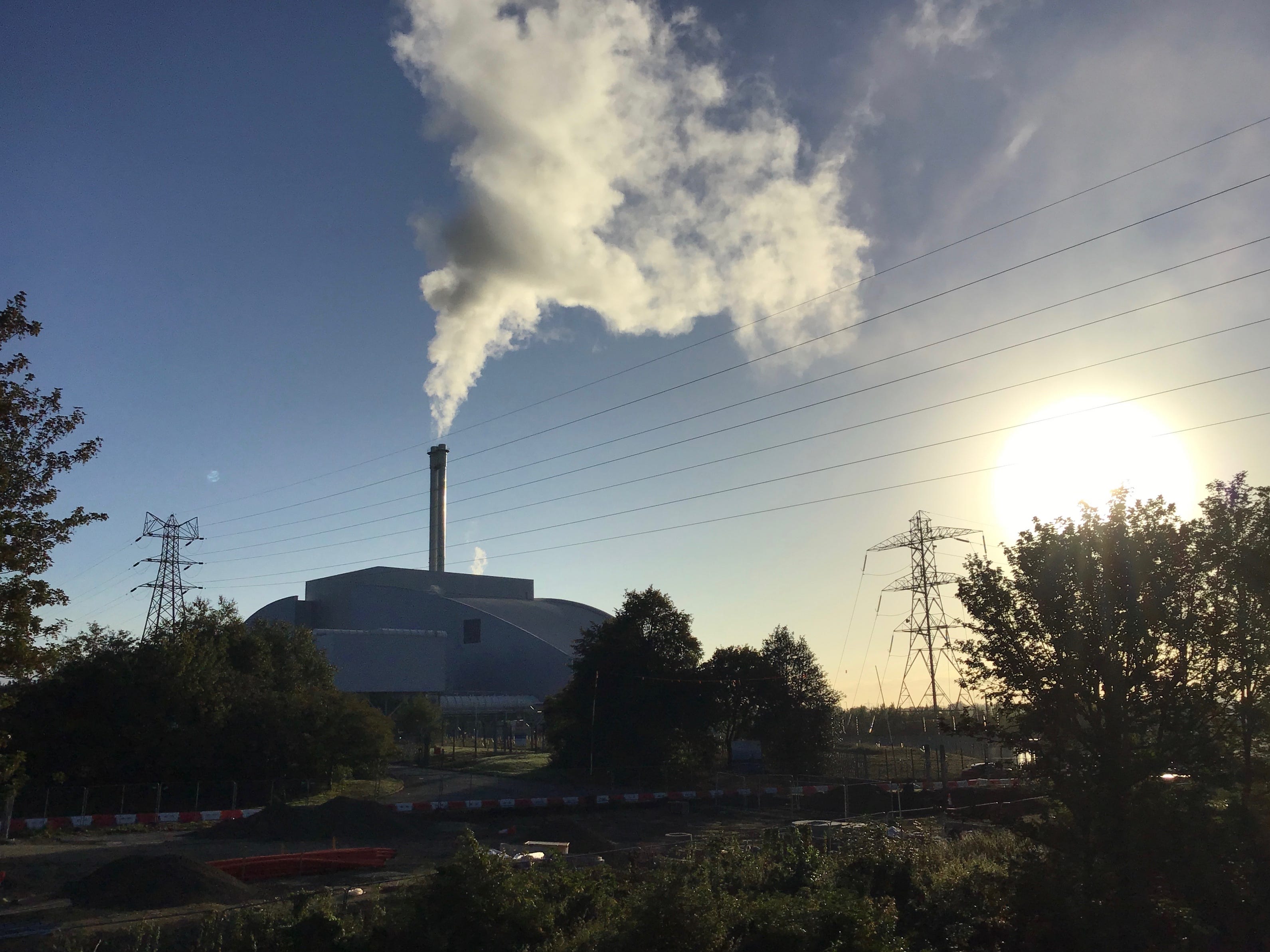
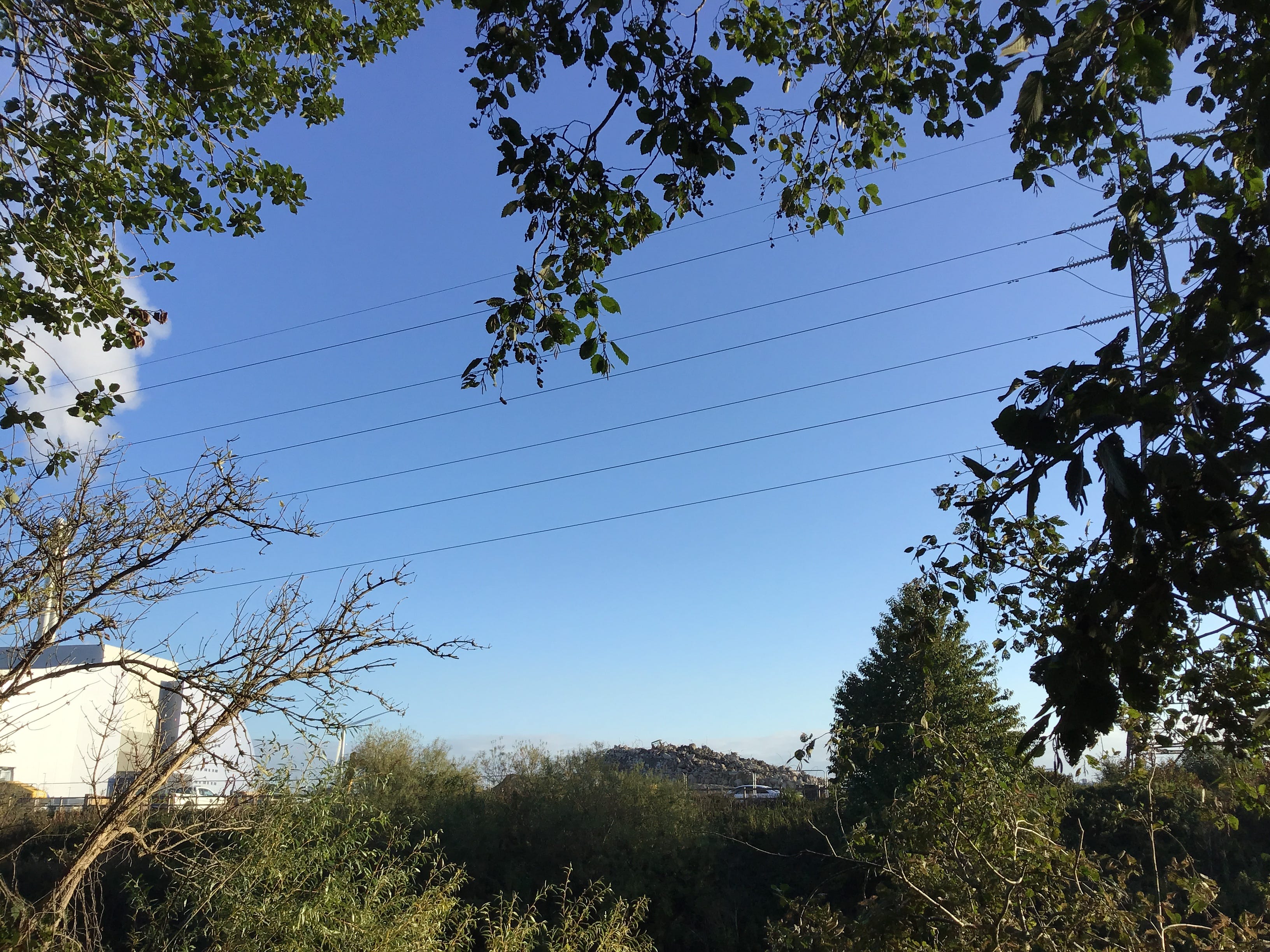
The path is pliant, and possibly new, there is a spring in my step, at first, these things don’t last. Wooded embankments, again, intermittent views of the canal, occasional glimpses of the river, and a last glance back at the substation before the trail bends south. One continual cloud.
I’m not thinking of the Richard that I knew. I’m thinking of the Richard that I didn’t know. The Richard left with nowhere to go. Or so it seems. I knew nothing of his recent difficulties. Others did their best to help. No-one saw this in his future. Now we speculate. The messages go nowhere.
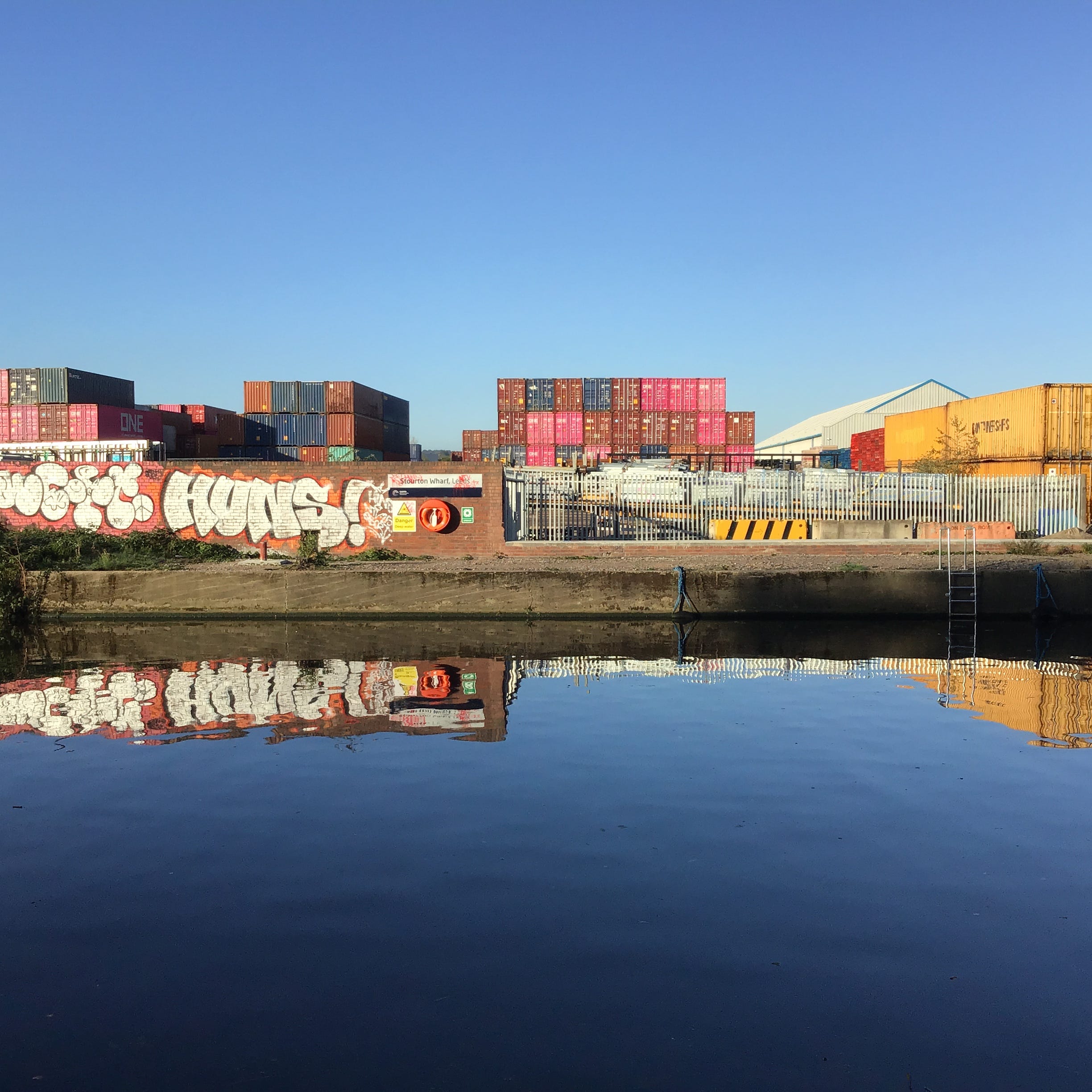
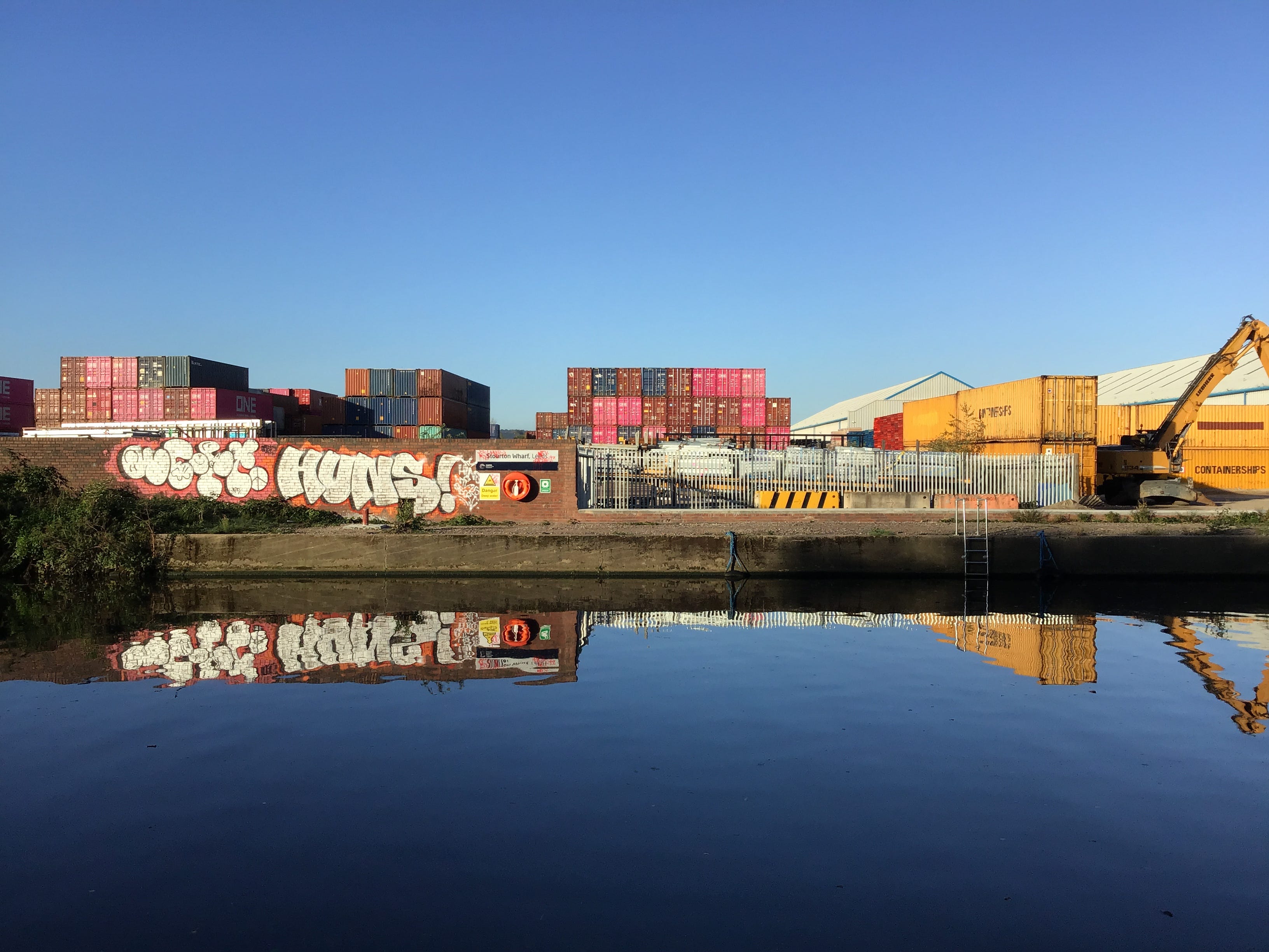
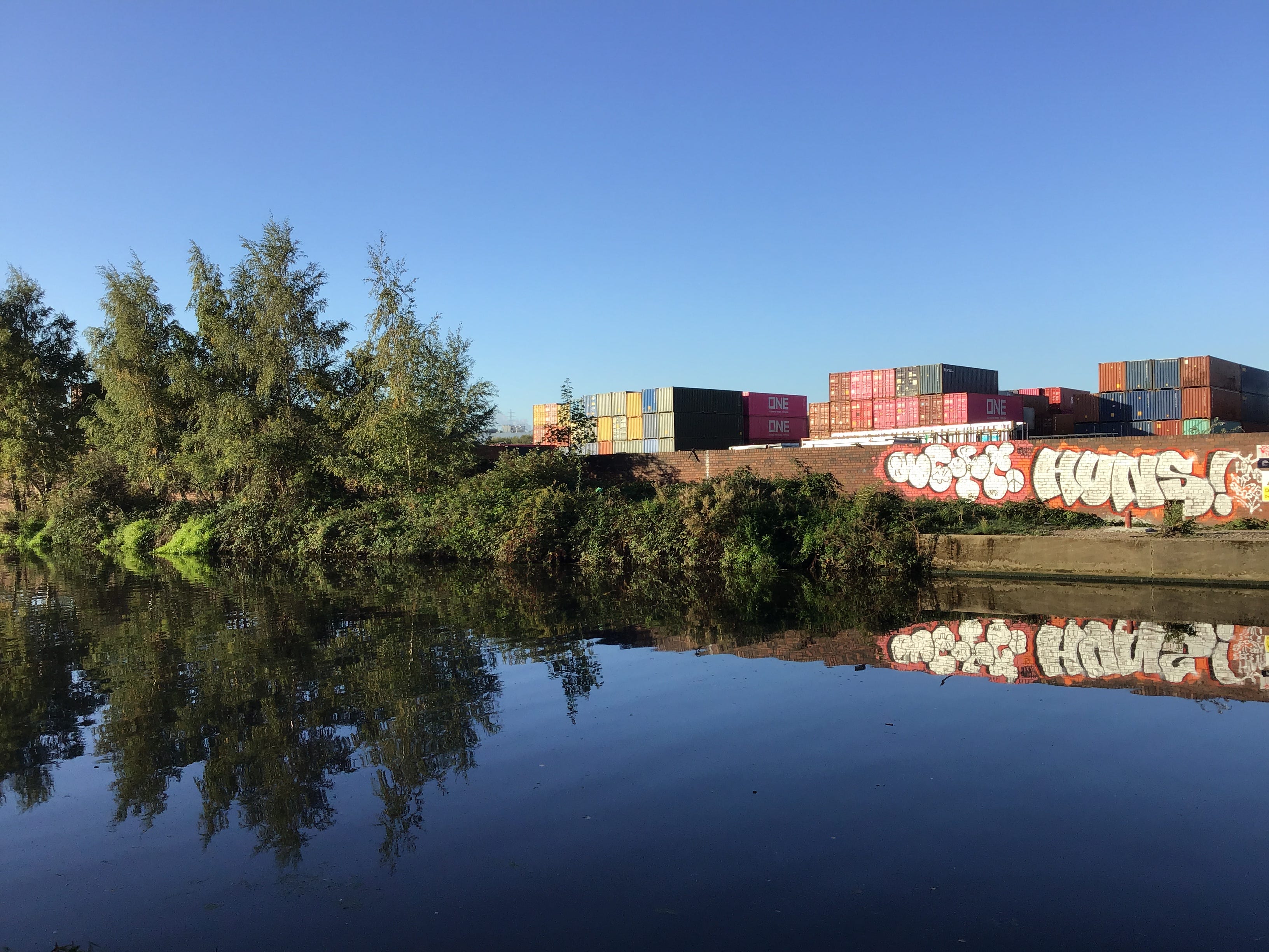
A clearing in the embankment. I step down to the wash wall and photograph the containers stacked in the haulage yards to the rear of Stourton Wharf. Hot pink, sludgy tan, battleship grey. A visual code that I can’t read, like the graffiti on the wharf deck, mirrored in the still water.
Is this still Leeds, I wonder, the map doesn’t have the answer, an old Explorer, one of Emma’s, revised & printed in 2010. Is that a transmission line or a parish boundary. There’s nothing more that I need to know, the sewage works, the dismantled railway, the freight terminal, the rifle range.
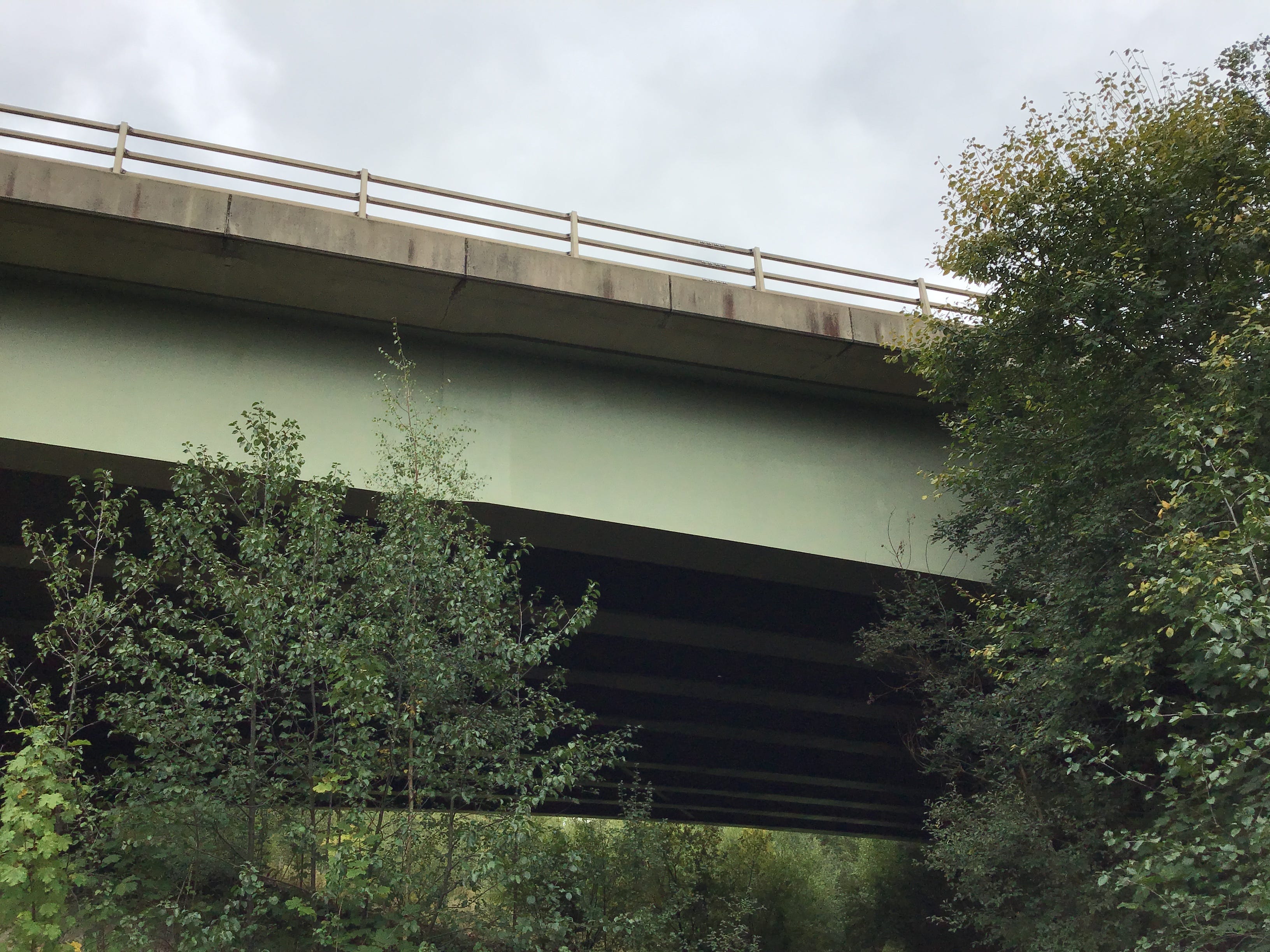
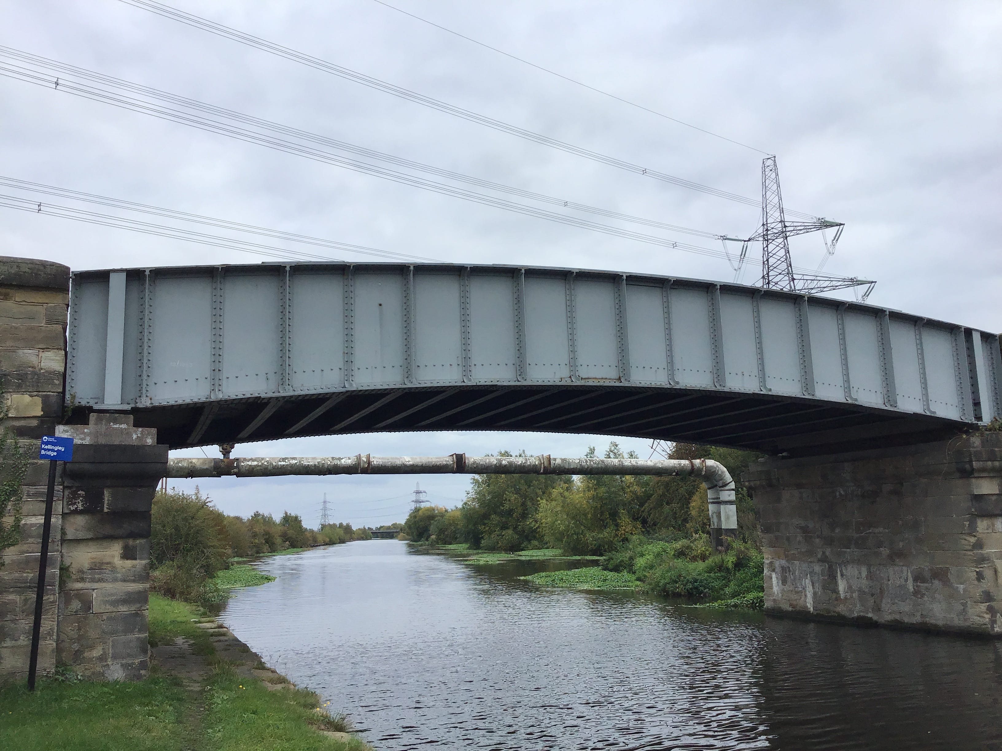
The path curves east, out of the industrial zones, I see nothing of this transition, dense wooded embankments close around the trail, but I hear more birds, almost nothing I can name, a chaffinch, perhaps. The canal briefly resurfaces, then it, the path, and the unseen Aire are swept under the M1.
An openness, a blankness, even, on the other side of the motorway. A broad, flat path and broad, flat water. Almost no sign of the river apart from a distant footbridge. This trail is part of a network of trails, and runners and cyclists make circuits, drawing level, for a moment, then gone.
Autumn hasn’t yet arrived in these hedgerows. I’m surprised to see blackberries, ripe, not withered, ours were done before August was out. Now these late gifts from nowhere. I try one, then another, sharp, not sweet, and better for that, to make them last, cupped in the palm, easeful and slow.
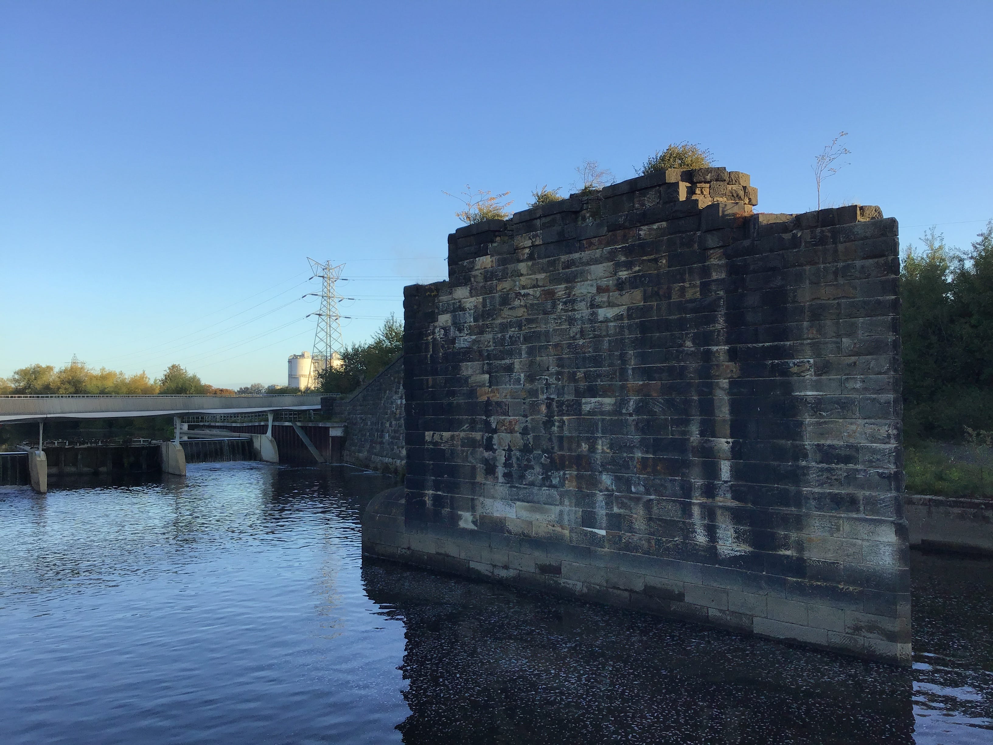
9.04am. I lean into the overflow weir and the sluice outfall. There’s nothing coming down the steps, not that I can see, the terraces are drying out. Clouds massing overhead. The sunken Aire to the north. Show me the aquifer, the water table, and precipitation on a schematic cross-section.
9.08am. Fishpond Lock. I stop at a picnic table, shrug off the rucksack, and take out a sandwich, the first food in five hours, apart from the blackberries. I text Emma, untie, loosen and relace my shoes, and try to separate the navigation from the folds in the map. The canal the sky’s broken slate.
A leaf on water,
a glint of gold, then silver –
last of September.
Three narrowboats east of the lock, almost no distance between them, moorings like invisible thread. I last saw Richard in the Rutland, in early 2024, he was on good form, quick with his wits, but thoughtful and attentive, he spent an hour with us, Emma and me, then disappeared into the crowd.
Several months later, he ordered a book. I walked the seven miles from Hillsborough to Greenhill and knocked on his door. No response. His cat appeared, then disappeared. I scribbled a note on the back of the package, sorry to miss you, hope to see you soon, and posted it through the letterbox.
As I walked away I thought of an earlier visit, towards the end of the last lockdown, I was out on deliveries and running late, as usual, and he and I sat in his garden and talked and drank tea, two old friends, at ease, catching up, an hour together in the last light of a spring afternoon.
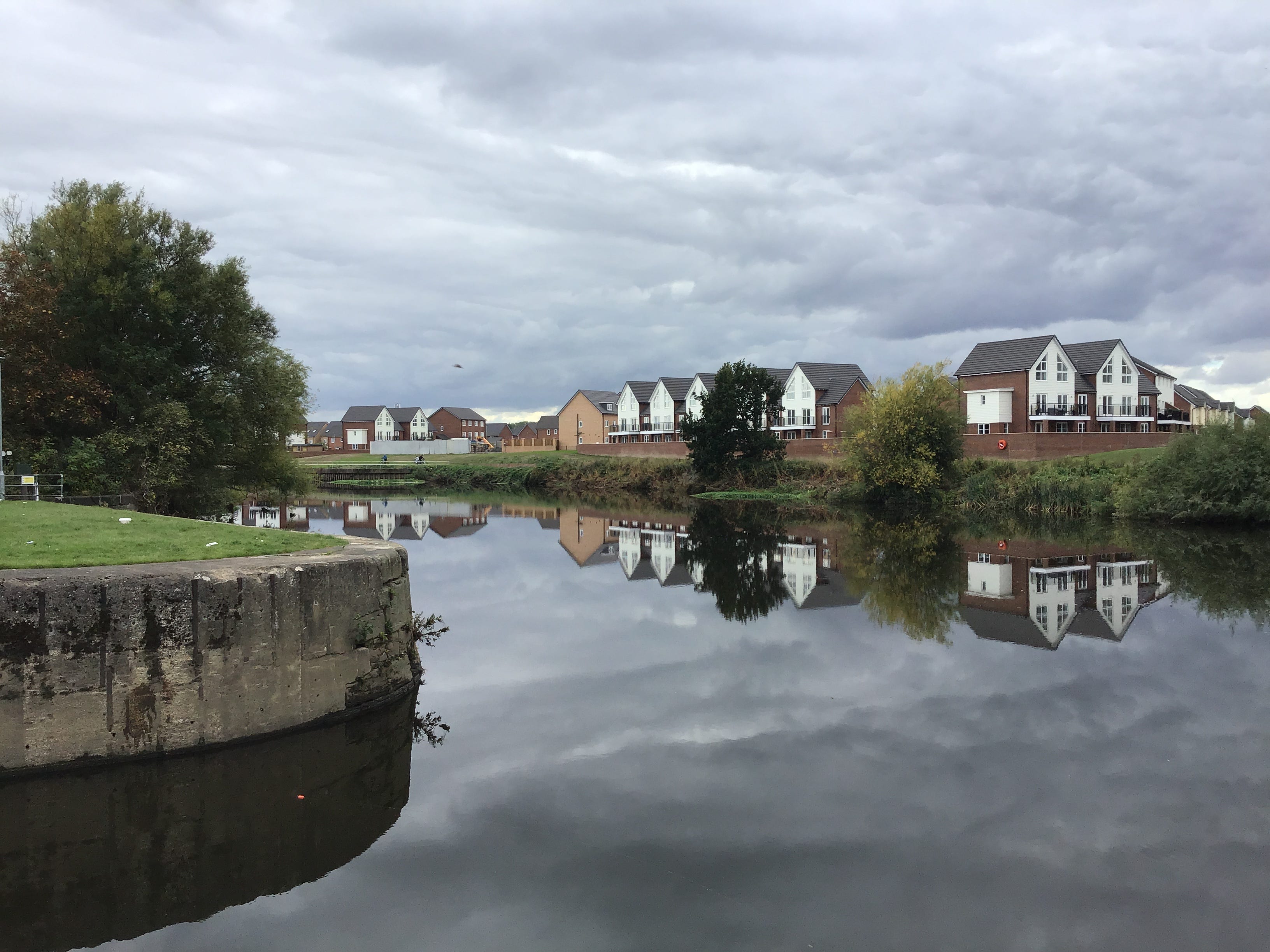
9.45am. Woodlesford Lock. End-to-end narrowboats. I follow the path around the bywash channel and cross the pound at the downstream gates. I duck under a road bridge and pass The Moorings, sixteen mews-style waterfronted properties with the contractors’ galvanised fence panels still in place.
One pipeline, then another, and I stop to photograph them at the edge of the water. An older man passes by, pushing a stroller, he is singing to an infant. I don’t recognise the song, I can’t pick out the melody, all I catch is the refrain, the last three words, ‘and back again’.
I recall my grandfather singing to me, as an infant, novelty songs, nonsense songs that were in the air when he was a boy. Did his grandfather sing to him, did the songs get handed down, the songs and the stories, almost all gone, and who would remember. The inheritance skips a generation.
I set down the camera and pick up the rucksack. The singing all along the towpath and slowly goes the stroller. After a minute or two I pass the man and the infant and the singing goes on ahead of them. A little shade in the embankment and on the water. To be sung into the world. And back again.
The navigation widens on the north bank, somewhat abruptly, it doesn’t look like a winding hole, is it a branch of the canal, not according to the map. An old wharf, then. I don’t know. The navigation soon regains its shape, the picture has changed, bankside plantations now silos and aggregate.
Two or three anglers ahead, on the south bank, in the shadows. I take care to step around their gear. I could handle the stillness, the silence, the waiting, but not the ends, the tug on the line. Nightfishing must be all of this and more. The hours. A different stillness, a different silence.
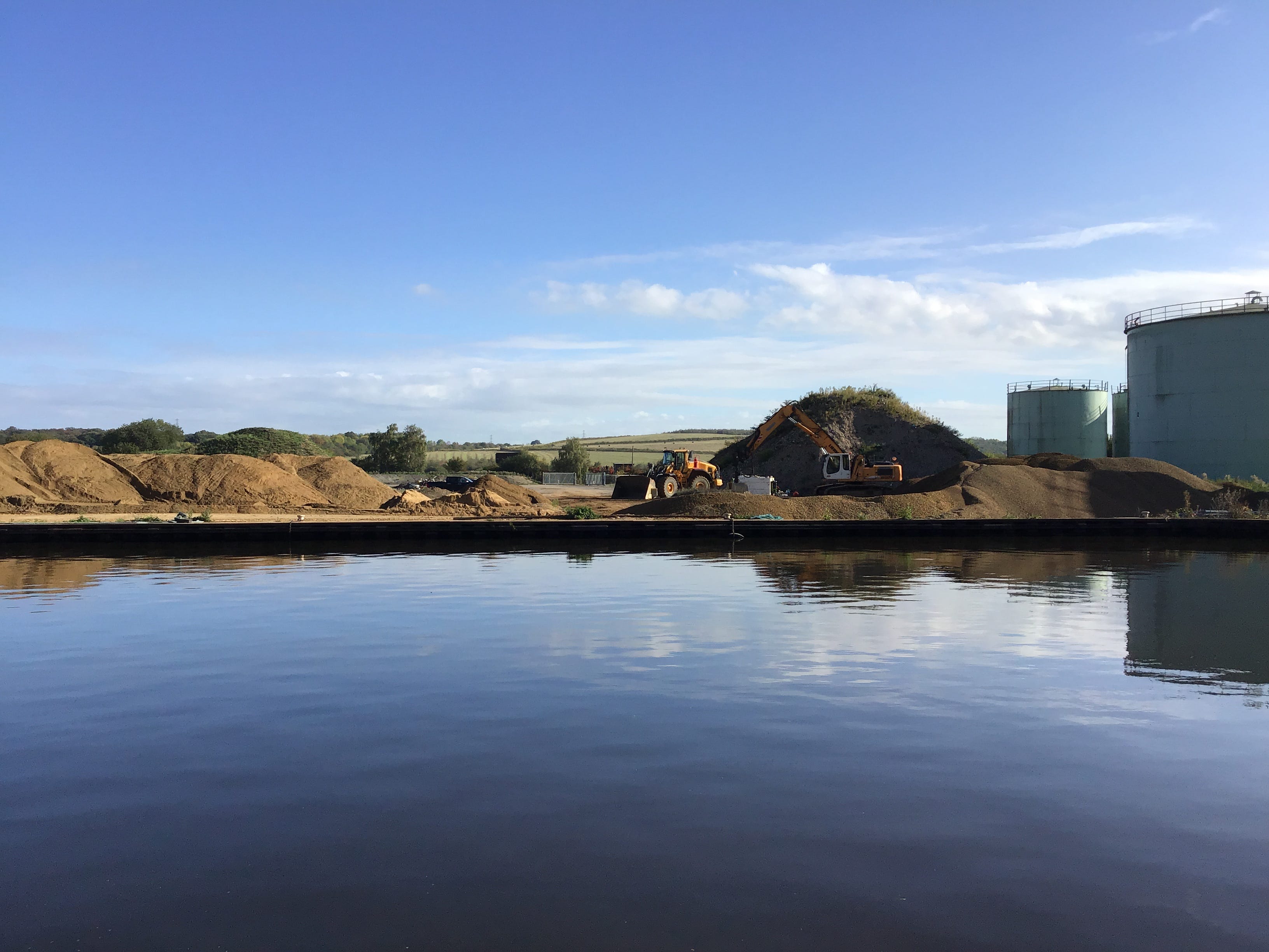
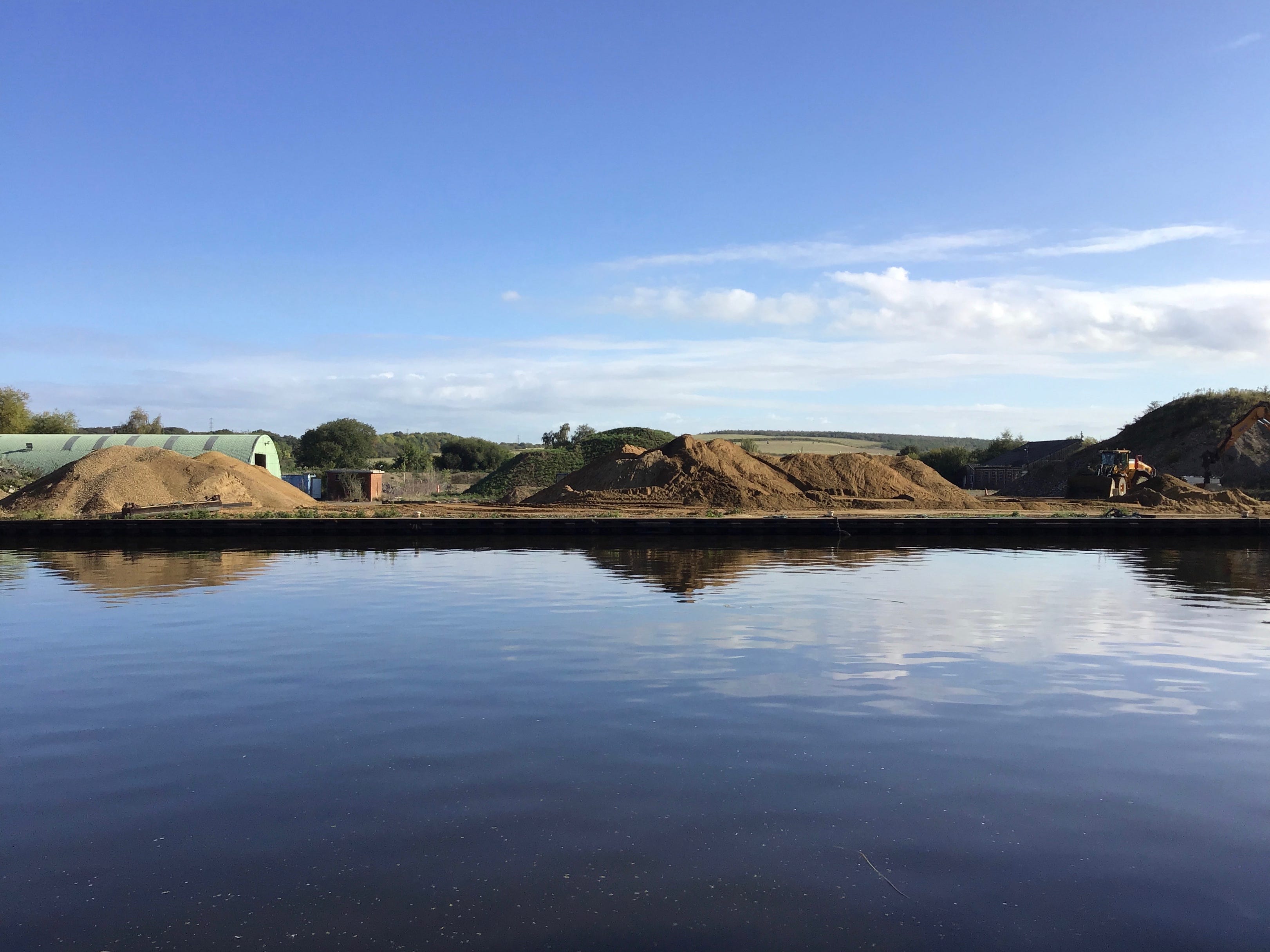
10.05am. The trail signage pulls me to the right, away from the towpath, just short of a road bridge and a marina on the other side of the crossing. A copse and a path through the copse with a cut-through to the bridge. The footway is narrow. I step back as a lorry rumbles to the north bank.
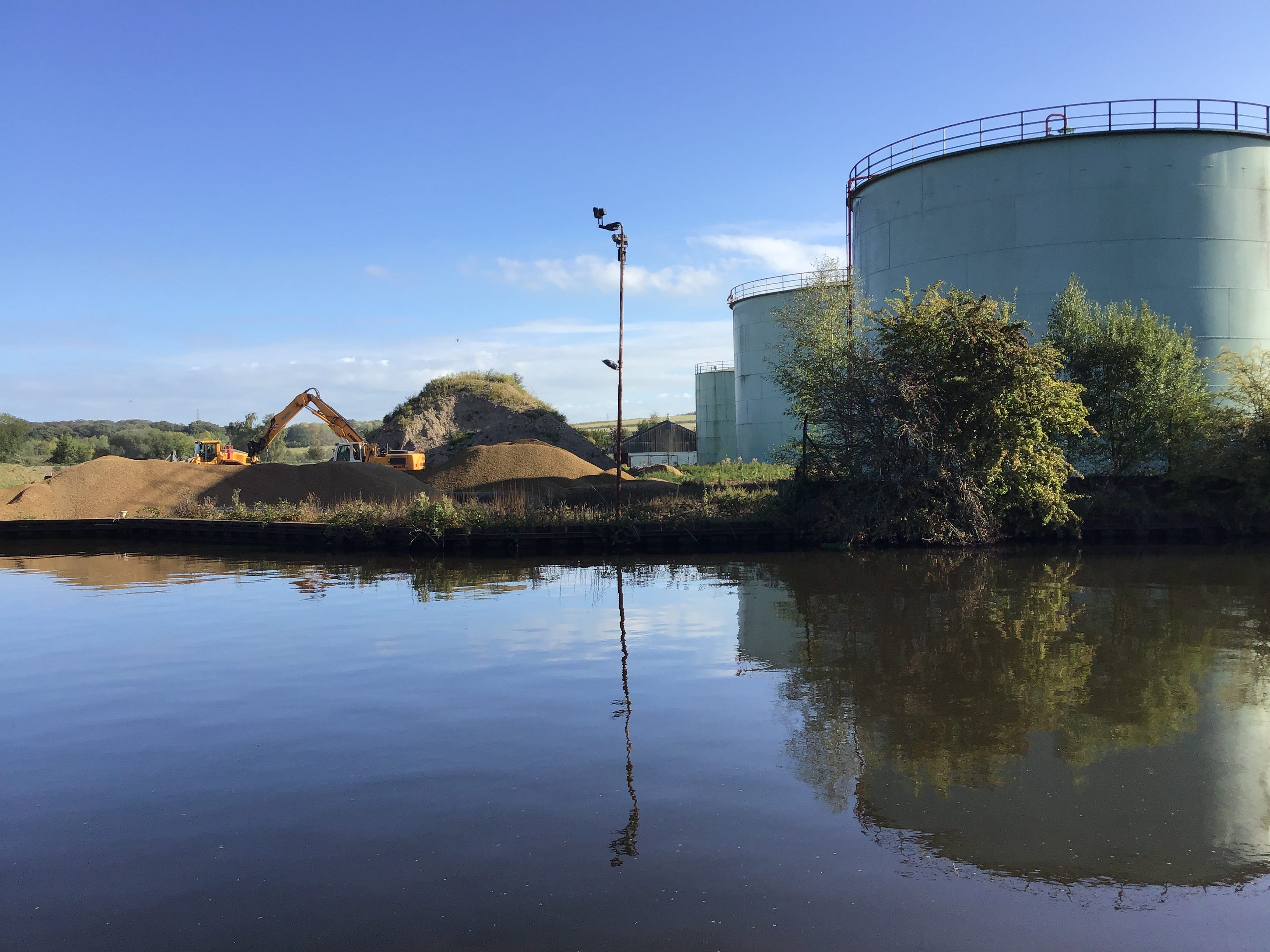
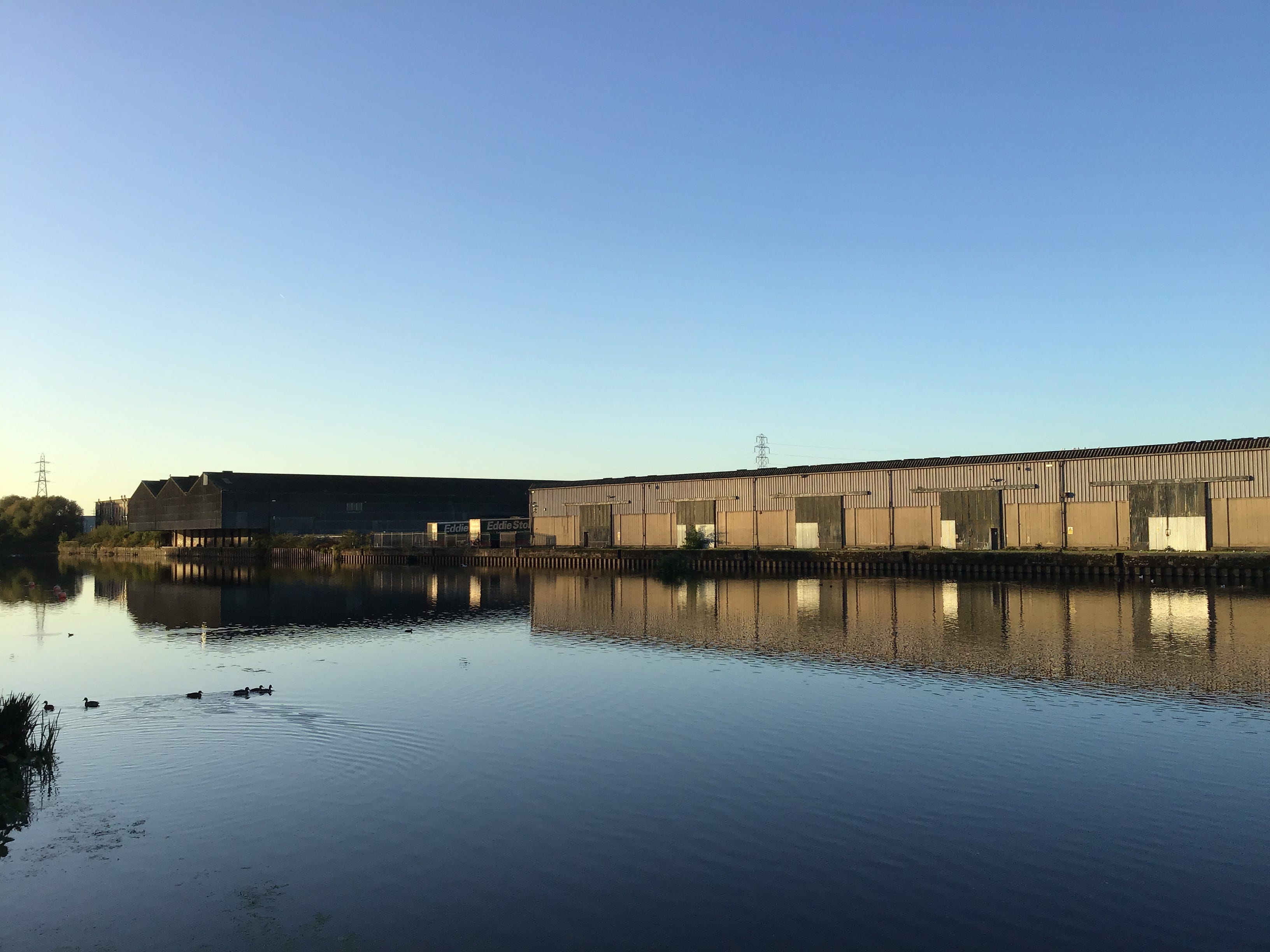
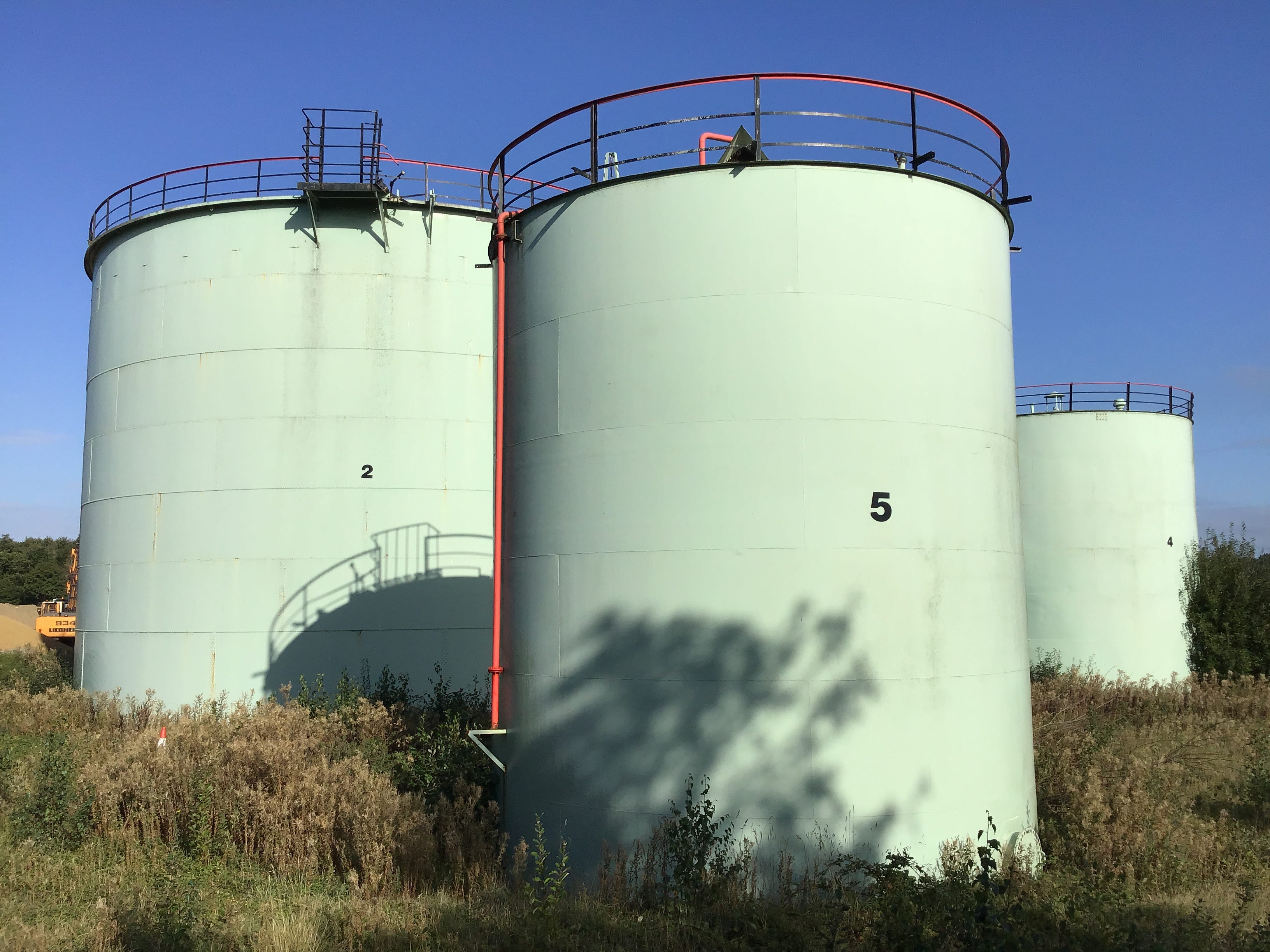
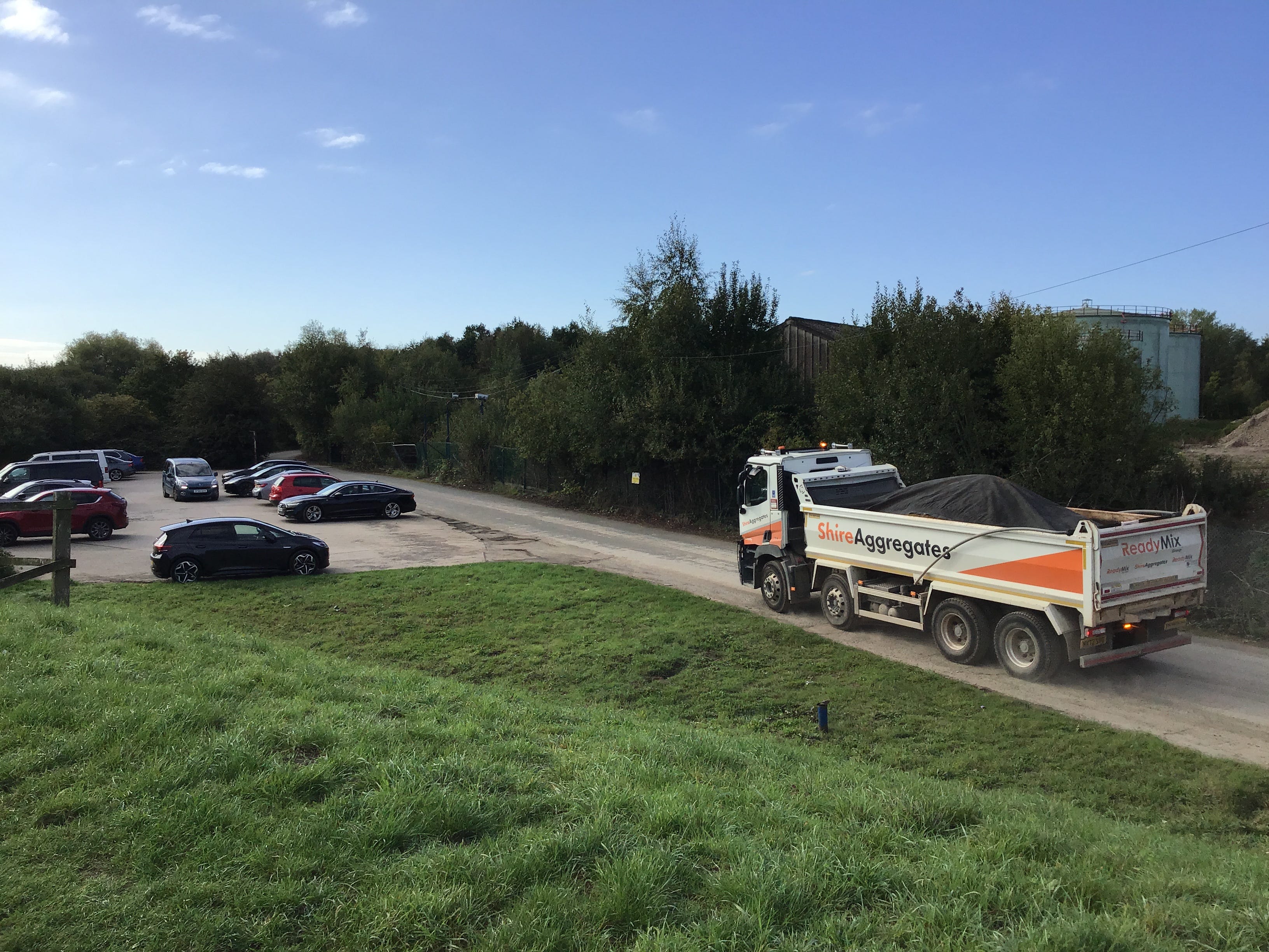
Lorry, van, flatbed truck. And several cars, not stopping for the terminal, here for something else, whatever is round the corner, at the end of the road. I didn’t expect to find a fuel storage depot 40 miles inland, if that’s what this is, there’s little signage and it doesn’t give much away.
I follow the road almost to its end, curving left, left again, past the silos and aggregate and nothing more than a car park and a path to the plantation. I walk back, via a railed embankment, and look out at the River Aire, and a bird hide with a view of the weir. Lorry, van, flatbed truck.
My sleep has been bad since Sunday, slow to come, at first, then broken, and the day starts with something missing. The walk won’t help, not in itself. To start somewhere else. People climb out of their cars and step onto the embankment, voluble or glassy-eyed, heading east, west, nowhere.
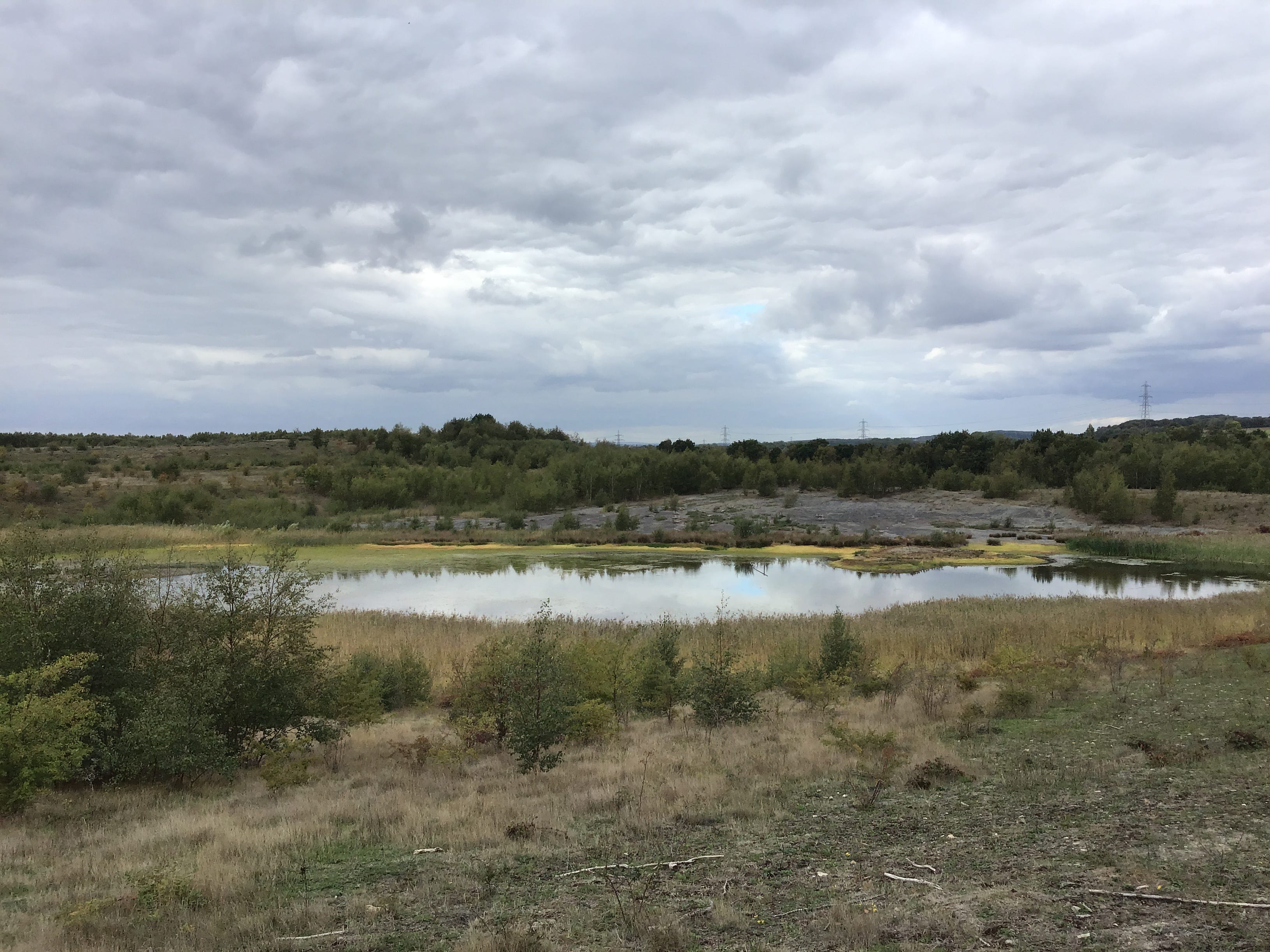
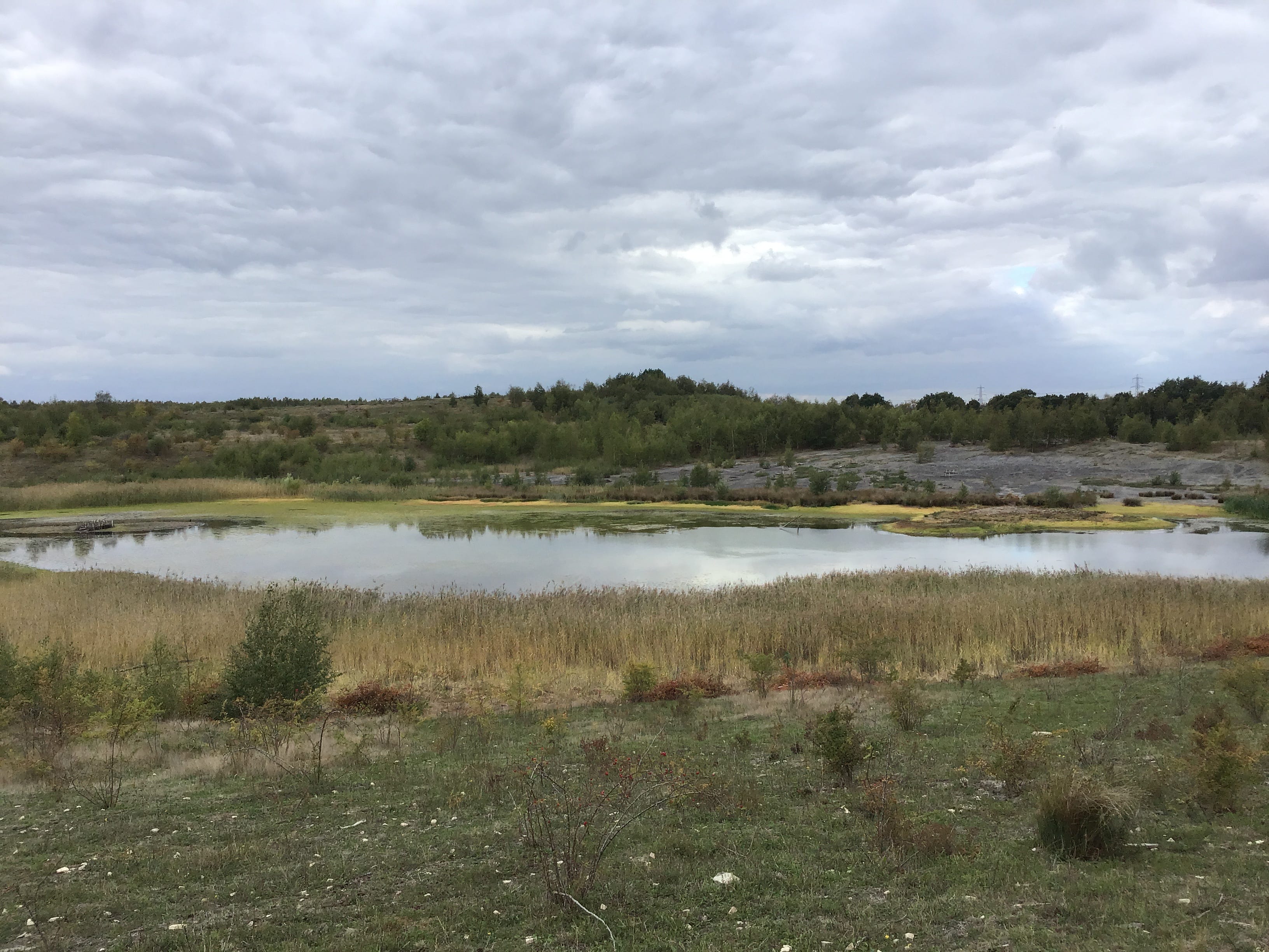
South on the embankment, back the way I came, and further, to the boat club, then over the Aire, and another weir, via a footbridge. The path skirts the edge of a vast wetland, marked on the map as Disused Workings, it is an old map, things have changed on the ground. South as the river flows.
I don’t see the navigation rejoin the Aire. The path is bounded by diagonal wire mesh on both sides and is intermittently screened by vegetation and trees. The outlook is further limited by a continual curve in the embankment. I walk on. I lose my position. Ten steps ahead. Ten steps behind.
Ten minutes pass. I realise that there is a parallel path, on the other side of the fence, at a slight elevation, looking out at the wetland. The distance between the two paths widens and narrows but never quite collapses. There is nothing to see. I stare straight ahead at the steps I will take.
I come to a small intersection, a path on my right, there must be a footbridge over the Aire, then Mickletown is close, it cuts across my path and veers into the woodland, then, I suppose, the parallel path, then, I imagine, the wetland. It’s a distraction. It will pass. I keep my eyes fixed on nothing.
10.50am. The fence is wearing down, gradually, then rapidly, the mesh sheets eroded or missing, and the vegetation has run out. I am thinking of nothing in particular as I stare at the wetland, there is no reason to stop, but for the pictures, I might not remember this, I might not see it again.
I step across a flood sluice and glimpse the Aire to the east. The path opens up another corridor and the short thin tangled trees close behind me. A powder-white gravel track forks left and climbs the embankment. I don’t know where it goes. A burst of oxeye daisies. Sunlight breaking through.
11.05am. Heat. It’s mitigated by the dense trees and the twists in the trail. There can’t be much more of this, I think, this can’t go on forever. One or two small white butterflies, little more than wisps, and a rabbit, or a hare, for a second, on the bend, springing back into the undergrowth.
11.25am. An end to the corridor, an open field, people out for strolls and loops on the edges of their territory. I haul myself through a metal stile and onto an overcut grass embankment. The world is marked up from left to right, and this is how I read it, slowly, from west to east.
I enter Allerton Bywater by way of Laytons MOT and the farm with one flag. Out again, two minutes later, via the riverside park and a flight of steps to the Aire. Men and their strewy fishing paraphernalia. The path pulls back from the river and continues as a line of off-white uniform pavers.
11.45am. The pavers aren’t made for running but I try a stop-start sprint along the field edge. I haven’t walked out here before. I’d thought that I might be east of Castleton by now. I have little or no contingency, as to routes, as to trains, as to time, the calculations made on foot.
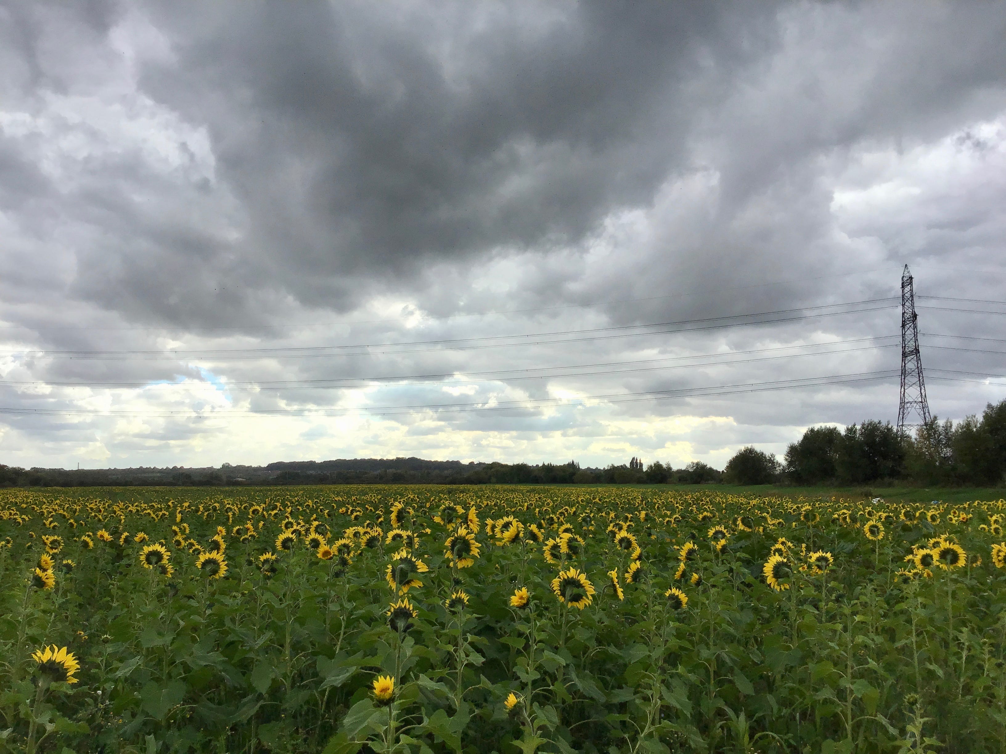
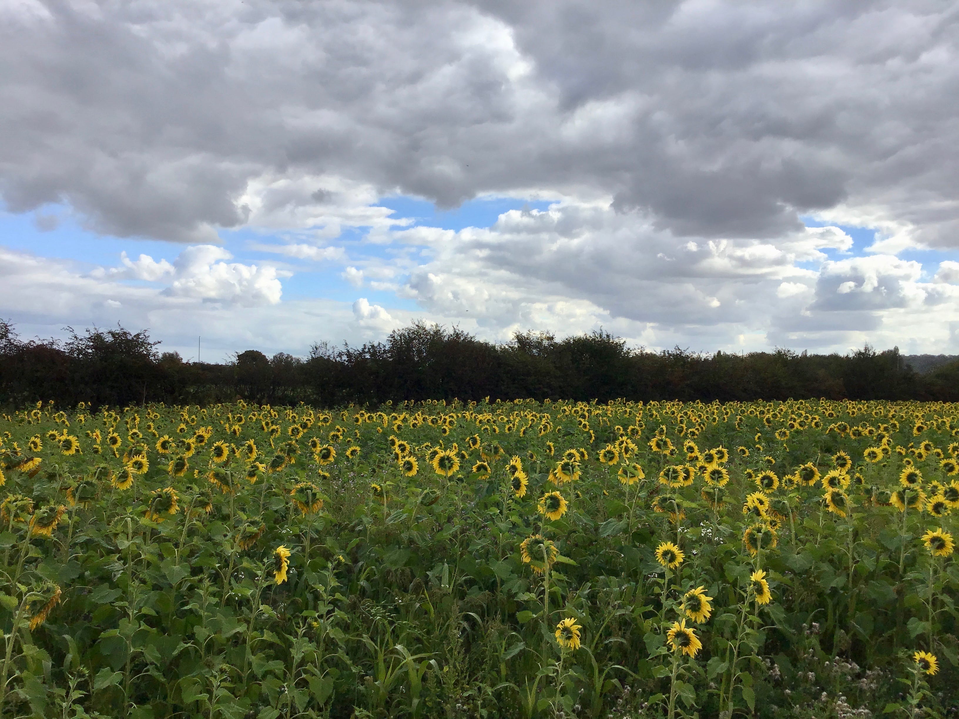
My mother grew sunflowers, for a while, the weeks would pass and I’d look out of the window and see them standing up straight against the back fence. She was always planting ahead of time. I understood, at last, what it meant, in the year of her death, to see the garden through its seasons.
The path runs back to the river and through a narrow metal stile. White mooring posts, navigation boards, memorial benches. Half the land seems to fall away, south, east and west, and the water fills with sky. I stop and look out at the Aire, its vanishing points, clearing to let the Calder in.
12.05pm. The confluence of the Aire and Calder is also the point at which the navigation reappears, for a short stretch, the canal roughly east-north-east and the Aire in a southeasterly meander. It’s confusing on the map but works itself out on the ground. I keep to the left of the locks.
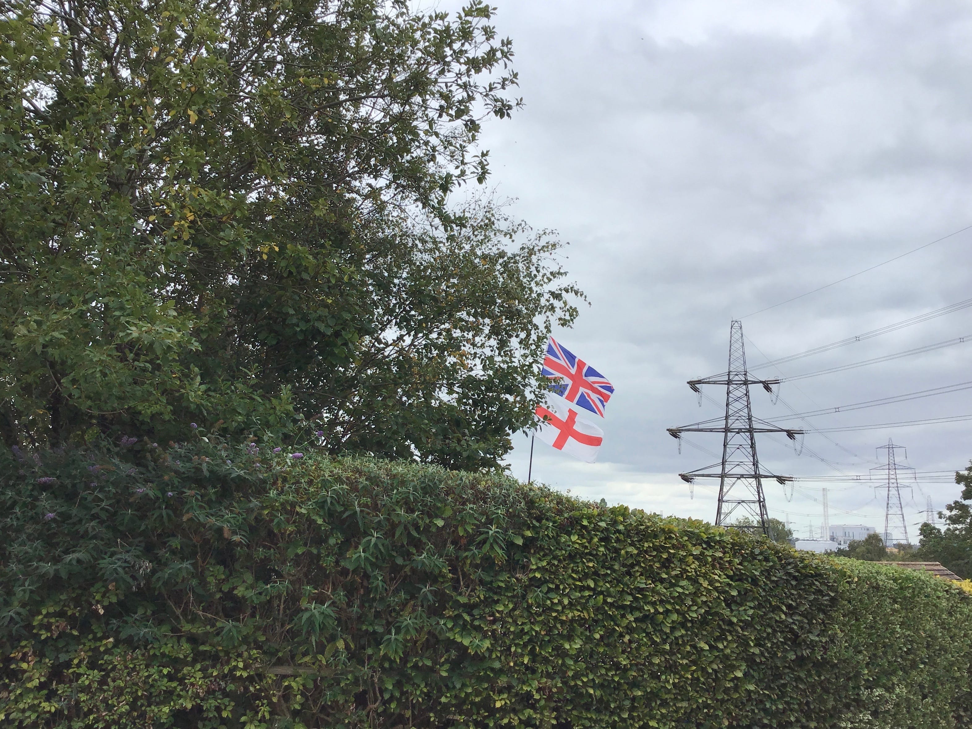
A desolate, run-down marina on the south bank, no, a boatyard, a cabin cruiser with a skewed St George’s flag, a listing narrowboat piled with junk. I stop to check the map. A car behind me on the track, there is some impatience, I step to one side as it takes its space in the parking bay.
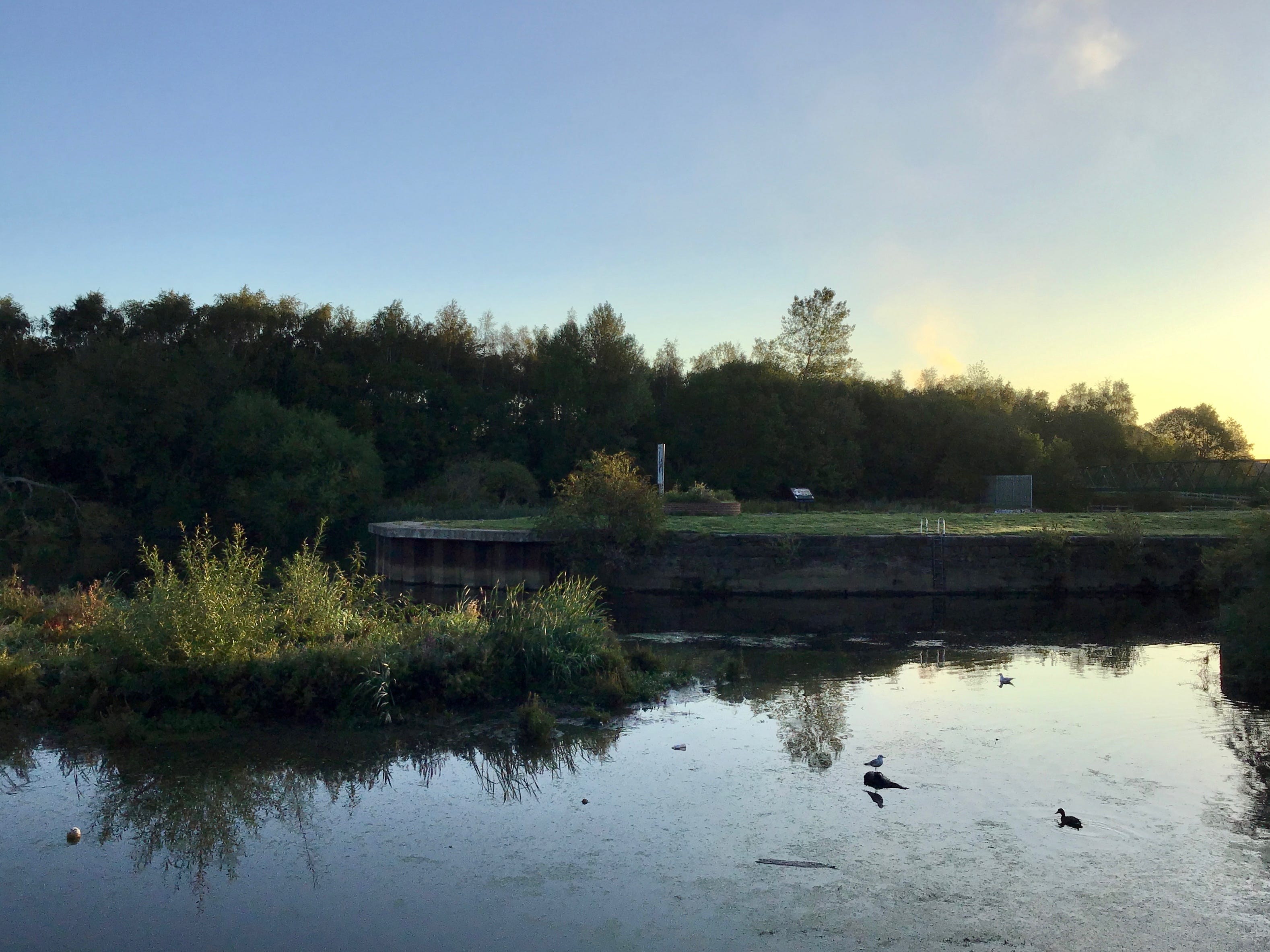
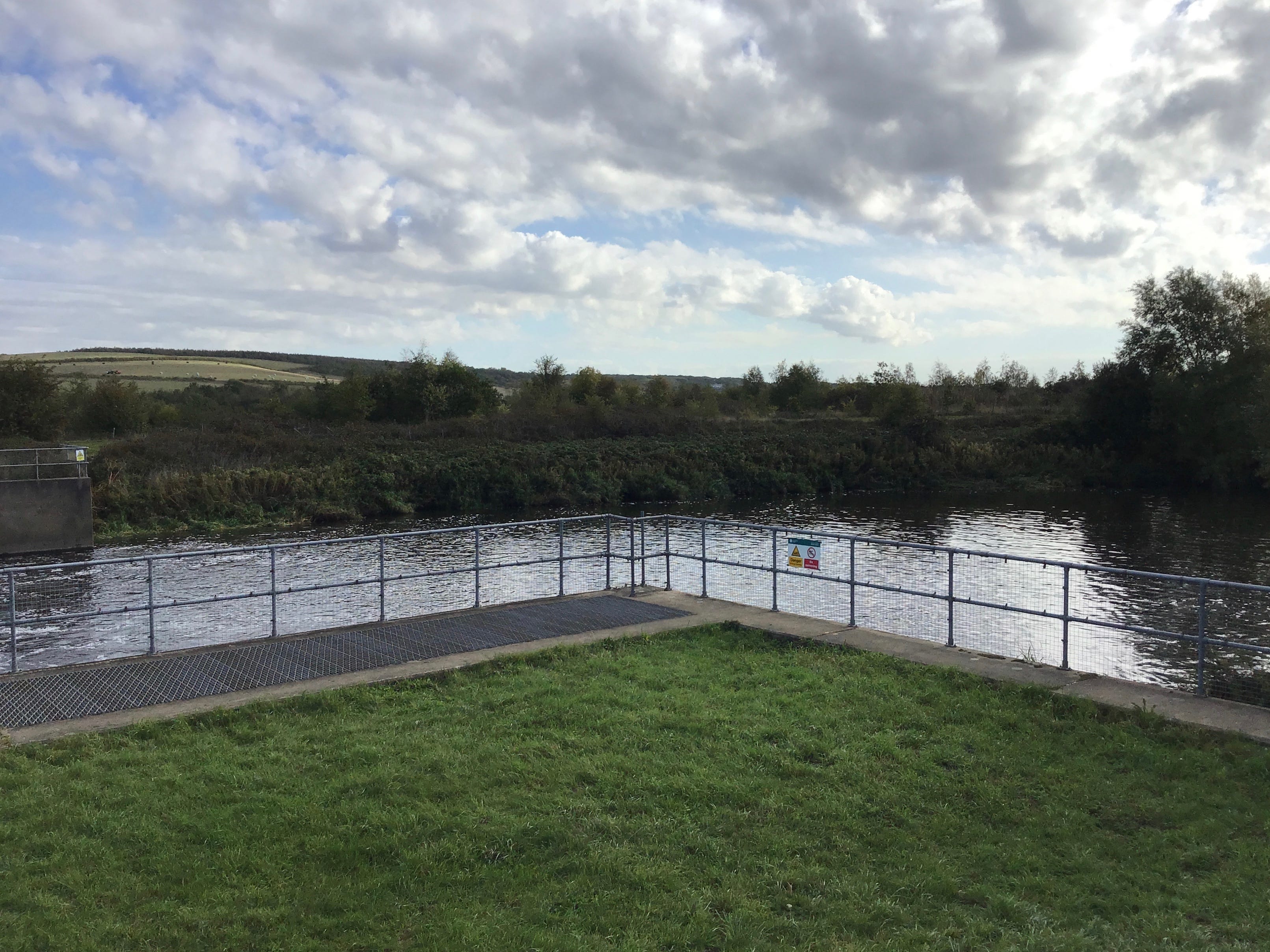
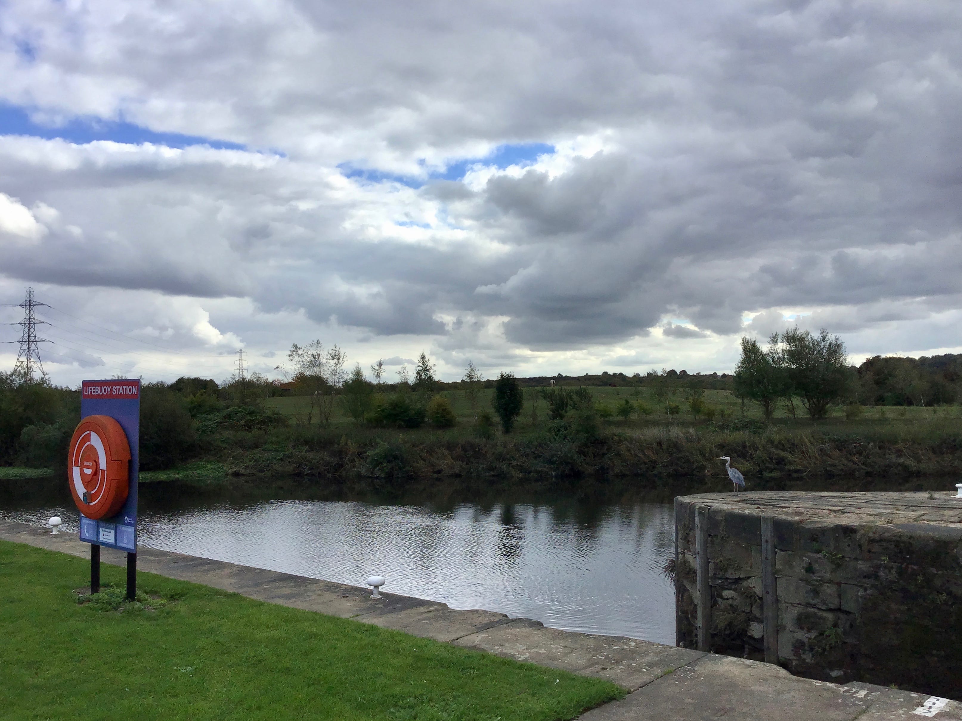
12.25pm. Bulholme Lock. And no way on. Not on this path. The navigation gives way to the Aire and I watch as it all goes east. A grey heron watches, too, watches for something else, something I don’t see as it lifts and soars and resettles on the far bank. It’s still watching as I leave.
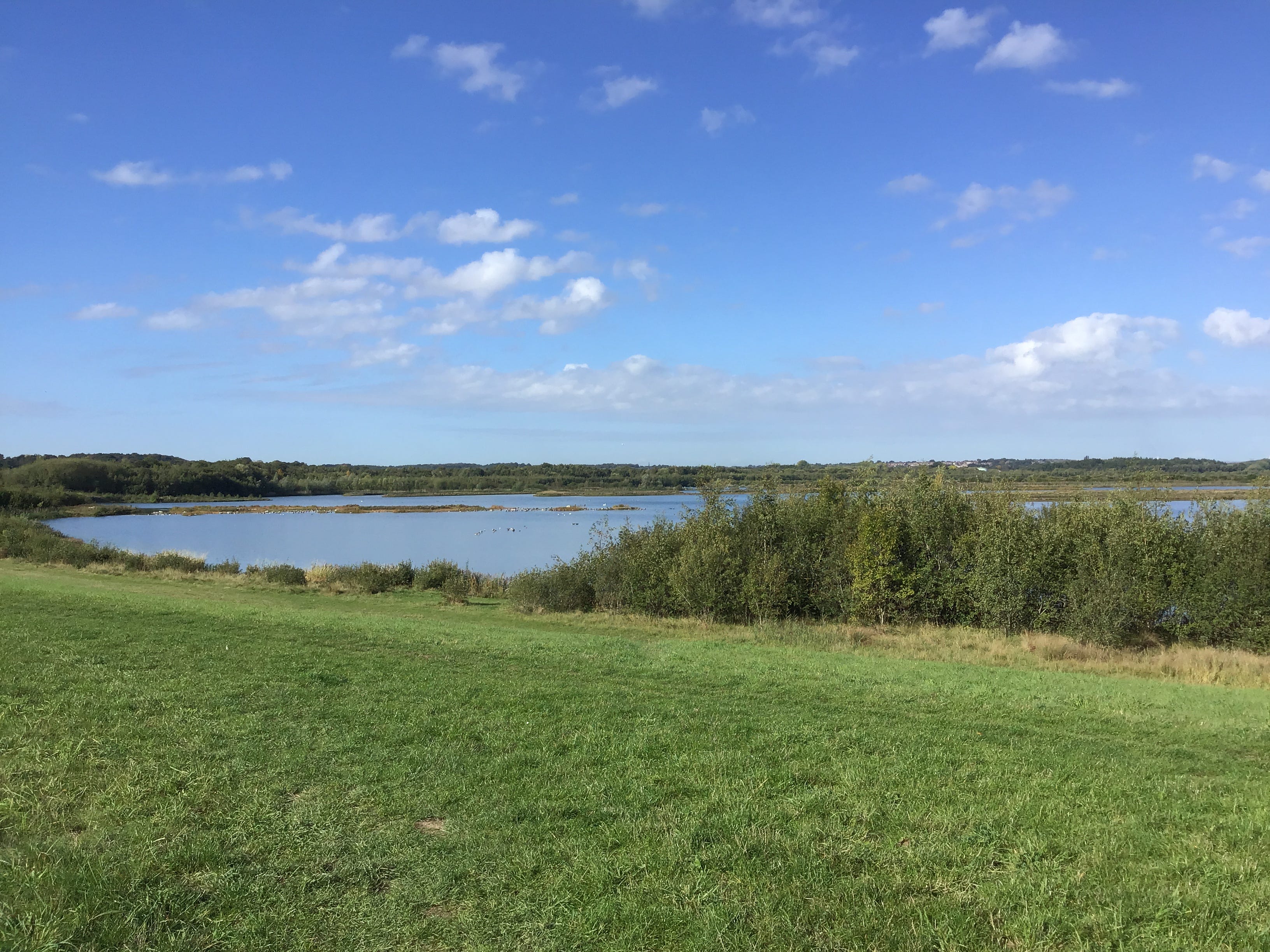
I double back along the towpath until I come to the kissing gate that leads to RSPB Fairburn Ings. The path lines up with the map and seems to follow the course of the river. A short climb up slopes worn smooth by companionable walking. Two by two, threes and fours, almost no-one is here alone.
A north-west fork, then another to the north-east, and the people ahead of me are gone. I stick to the south-east path, clinging to the river, as close as possible, passing under a disused railway, repurposed as a pipeline, keeping to the right of the unmeshed wire fence. What was all this once.
Another flooded colliery. Half the nature reserves in Yorkshire seem to be developed from collapsed mine workings, resurfacing with the old names, the Ings and the like, Old English, Old Norse. The path has settled down, some sort of composite surface, self-binding, compacted, naturalistic.
There’s little to see on my left, the Ings somewhere above or below an embankment dense with greenery, so I let my thoughts run with the river, the glimpse and the long view, and the path turns with it, sometimes sharp, sometimes slow. Birdsong and the rhythms in my head, plodding or pounding.
A cormorant on the Aire, as the water narrows and quickens, poised on a rock, drying its wings. It’s gone before I can think to take a photograph. I walk on. The certainties drain from the moment. The passing moment. Perhaps it wasn’t a cormorant. Perhaps it was nothing. Useless to speculate.
Thick, broken cloud. Andy last saw Richard in the week before he died. He told me this last night, in the Rutland, it seemed right to meet there, we needed somewhere to talk of Richard and we thought of it as Richard’s pub. We’d both met him at the same time, in the same place, thirty years ago.
Richard seemed much the same, when he saw him, the Richard that he’d known, gentle, funny, intelligent, generous, perhaps a little subdued, with hindsight, but the qualities were intact, there was nothing missing. He’d visit the Harlequin where Andy worked as a chef and Andy would cook for him.
He was bothered about the rise in nationalism, he said, it came up a few times, in those last conversations. I leaned in, over the table, and waited for the details, but that was all he could remember. It couldn’t have helped. Weeks of it, since August, up lampposts, in windows, on the doorstep.
The trail cuts through a copse or a small plantation and I lose sight of the river. A roe deer, thirty feet ahead, unmistakably a roe deer, stock-still on the path. My legs stop moving. Seconds run down. What is that look. Where is it aimed. Into the trees. Without a sound. Nothing left behind.
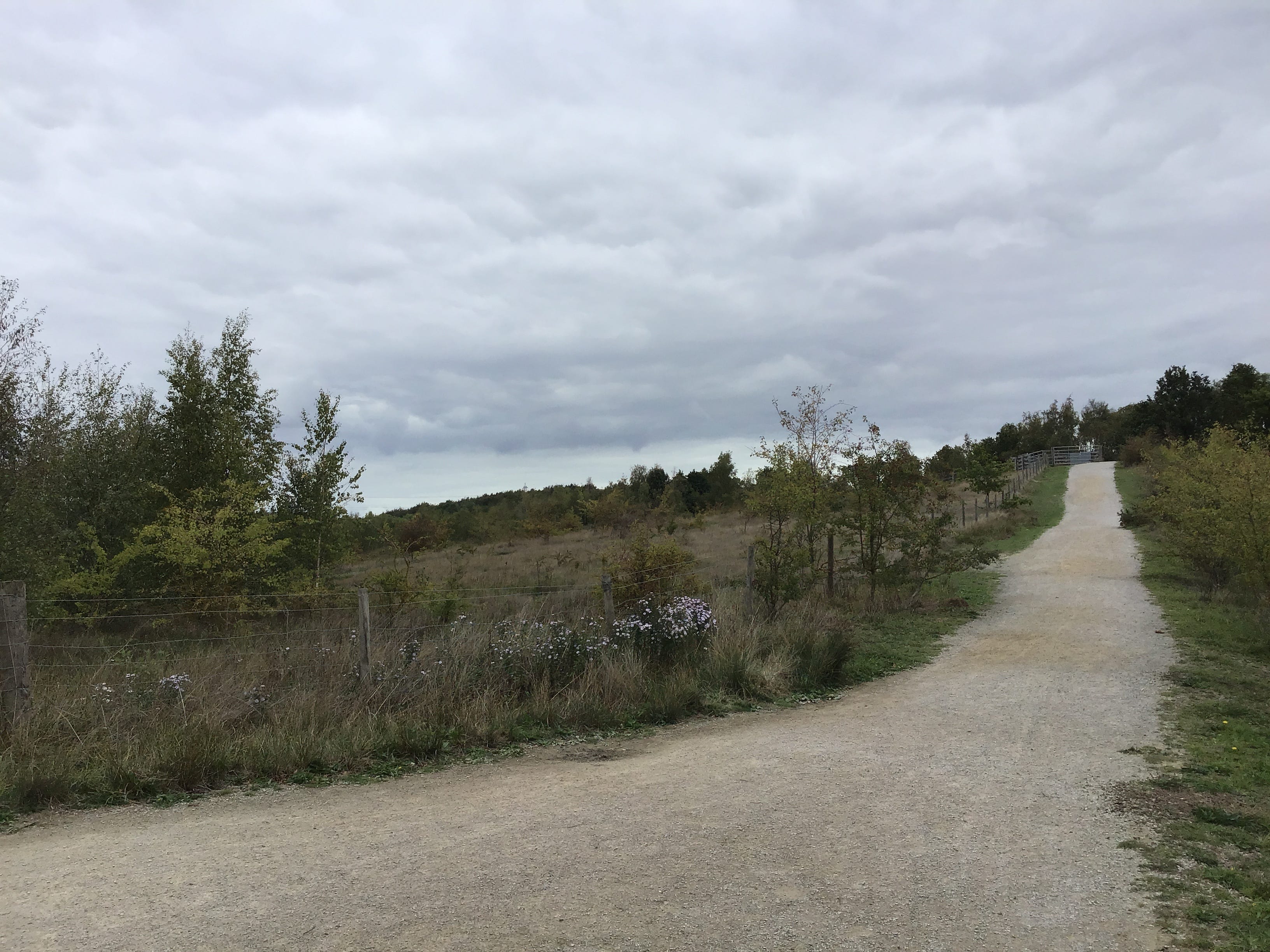
1.05pm. A turn from the river, the landscape thinning out, white birch and grassland, and a trail from the Ings, sweeping into this one, driving it uphill. The trail has been renamed for a departed RSPB employee. Two or three small groups, or perhaps one group dispersed, catching themselves up.
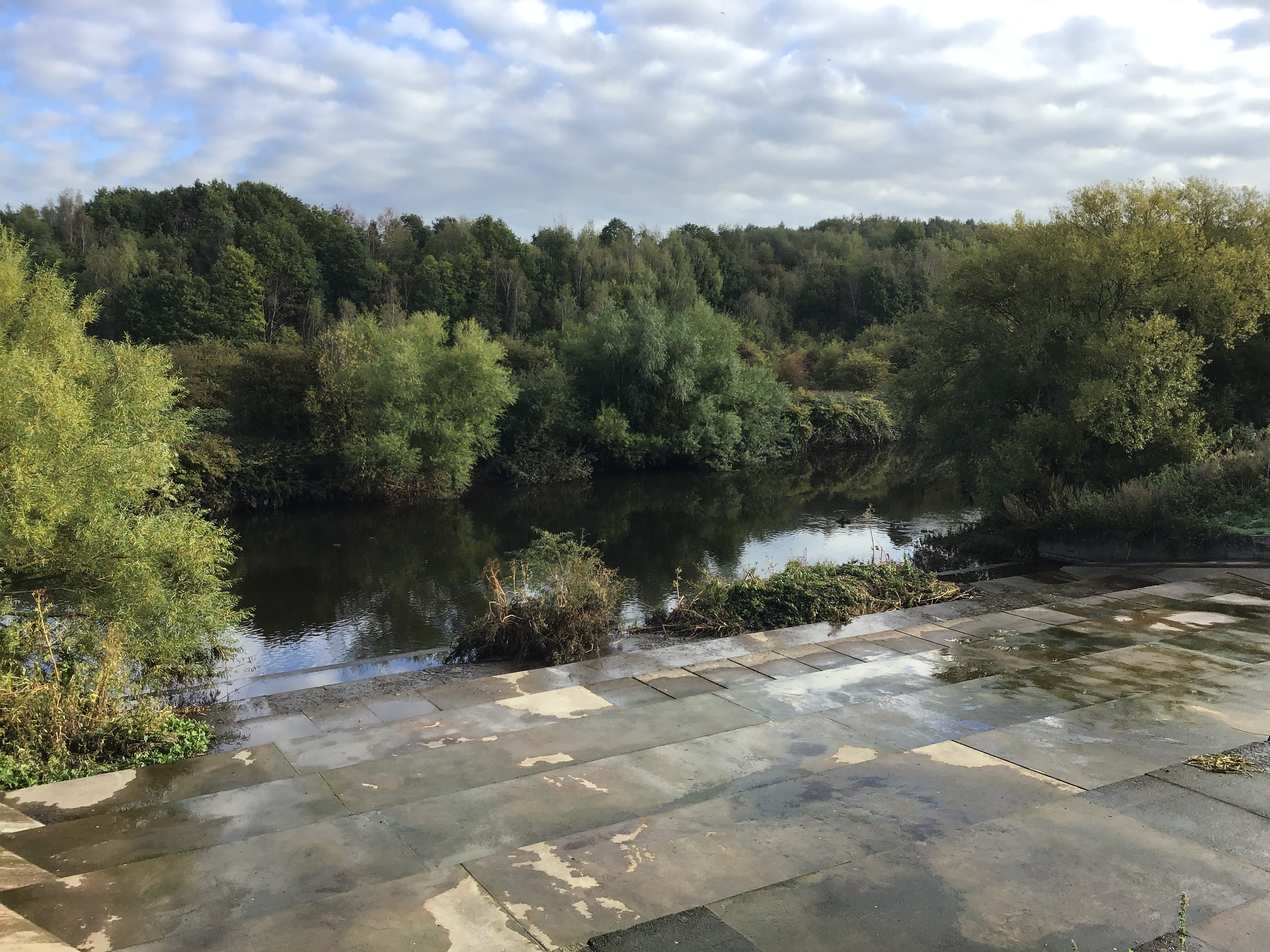
I should be in Knottingley, out of Knottingley, east of Knottingley. I’m an hour or so behind. I run at the hill and make it halfway, the path is looser, now, uneven and gravelly. As it climbs the Ings appear, one or two small lakes, nothing on the water, nothing that I can see from here.
I hurry past the people in front, the grievances and tirades, a man complaining about his employer, a man complaining about his ex-partner. At the top of the slope a memorial bench. I half-read the inscription on the brass plaque then forget the person named there. Downhill into gravel dust.
This is where you’d come to, or somewhere like it, to think things over, to talk things over, on an afternoon like this, not too local, not too distant, to walk around and again, the circuit never closing. Someone else’s idea. Someone else’s decision. The last place you’d want to be.
I come to the foot of the hill and what must be the path to the river that slips under the Ings to the east. It isn’t. The place I have made for this path is on the other side of a padlocked metal fence, it’s a RSPB maintenance or storage area, it doesn’t lead anywhere.
I walk back up the hill to work out where I went wrong. I unfold the map and look out at the Ings and look down at the grid. It is hard to reconcile. Direction or scale. It doesn’t add up. I turn back from turning back. Downhill. Gravel dust. No GPS. No compass. Miles out. Hours lost.
I follow the signs for the visitor reception and car park and five minutes later arrive in the visitor reception and car park. I turn right from the visitor reception and car park onto Newton Lane, a mile or so west of Fairburn parish. A busy, narrow, twisting road, one verge, no footpath.
The east Ings flicker in and out of the vergeside trees, I am not seeing any of it, I am listening for oncoming traffic and looking for the hollows on the bends. Fairburn is a low-rise, high-density development, bungalows and detached houses with gable roofs, gated driveways, modular paving.
I’ve come to the village to cut through the village, a turning and a path between the Ings, the shortest route to the Aire. The bungalows are in the way. Some of them have little flags in the windows, small enough to miss, unless you happen to live here, unless you happen to be neighbours.
Here is the turning, and here is the path, the last of the Ings ahead, and I see another path branching to the west, with dogs and their walkers, and the Ings are all around, the path giving way to bridging points, and now the Aire, and the trail south-east, and the path I lost links up at last.
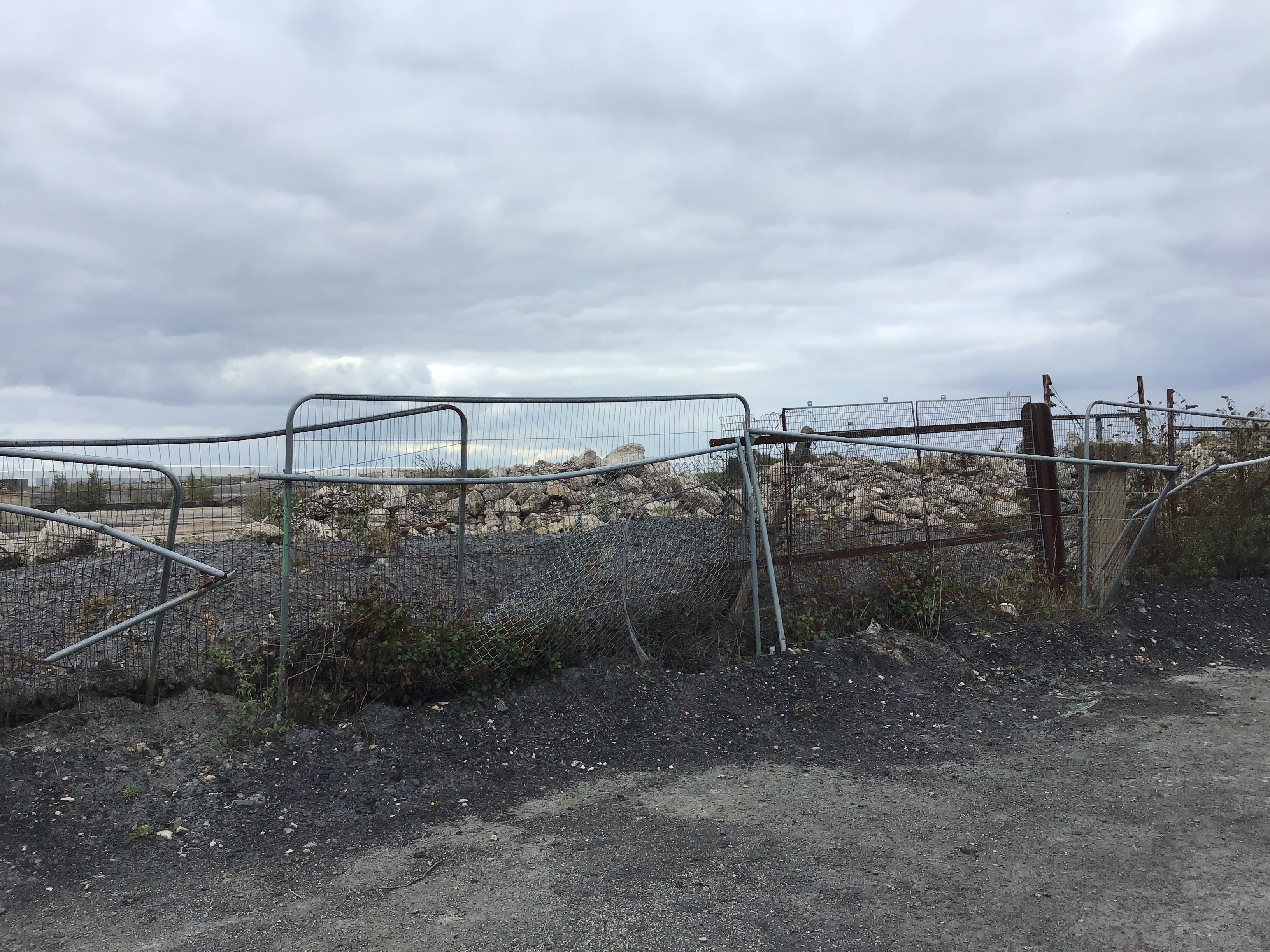
2.15pm. I pass under the A1(M) and consider the perfectly raked stones under the motorway bridge, their precise correspondence to its shadow, the selection and distribution of the stones, the forces keeping them in place on the embankment slope, the questions arising, the questions arising.
Low pressure. Low cloud. The map indicates that I crossed from West Yorkshire into North Yorkshire, a few miles back, on the approach to Fairburn. I expect to see Ferrybridge Power Station across the water, any minute now, then remember that the cooling towers were demolished several years ago.
White birches. Settling ponds. Slurry pits. I walk off the edge of Explorer 289 and on to the next sheet, older than the last, crown copyright 2000. Six OS maps in a padded envelope, and a note from Rose, a gift of sorts, it was weeks before I thanked her. Pipelines. Fences. Burnt-out signs.
My back turned to the river. The lane climbs out of the valley. Brotherton, on the border, the village is little more than its high street. Tasteful stone renovations. Fast-growing hedges. Wrought iron gates. In line with. In keeping with. None of it comes cheap. What makes a house a home.
I walk on, a few more flags at the end of the street, most of the houses have none, but the message is clear, you don’t belong here, and what do I care, I’m leaving anyway, but think of it, living here, every time you look out of the window, or step into the garden, or walk to the shop.
West Wales, the late 70s, a glimpse of the sea, then the seaside, the waterfall at Tresaith. The flags were small and papery and the Welsh flag was the best, of course, it had a dragon on it. I liked making sandcastles. The dragons weren’t real, I knew that, even then, the castle wasn’t real.
2.45pm. I stop at the parish church, St Edward the Confessor, rebuilt in Gothic Revival style, the site is much older. I find a bench to the side of the church and eat my last sandwich. I take off my shoes, shake out the last three miles of grit, then lace, strap and bind myself, and leave.
Out of the village, the telegraph poles, the transmission towers, the fields roll down to the river yet never quite get there. The A162 closing in from the east. The old bridge just ahead and the new bridge just beyond. I can no longer think in units of length, yards, metres, feet.
3pm. Ferrybridge or West Knottingley or Greater Knottingley. I try to go around it, the south bank of the navigation, and meet six or seven lads with fishing rods and cans, they are trying to tell me something, it’s a dead end, mate. I turn back and start over from Lock Hill and Fishergate.
Flags everywhere. Not everywhere. Here and there. They’re in my head. They’re all I see. Outside and inside. Fraying, furled, or flapping. Upside down and back to front. Basic code. We all know what it means. I give up on the map and take the first left, there has to be a way back to the water.
A sign for the station, the railway station, and I consider it, the train to Goole, if there are trains to Goole, you might be waiting for hours, or made to change at Doncaster, or sent to Pontefract and stuck there, you might as well keep walking, if you can, if only to see where this goes.
3.15pm. Kings Mill Bridge. I cross to the north bank of the canal and drop down to the towpath. Three more bridges until the navigation splits from the river and the path switches back. I’m two hours behind and done in with discomfort. First one shoulder. Then the other. No more pictures.
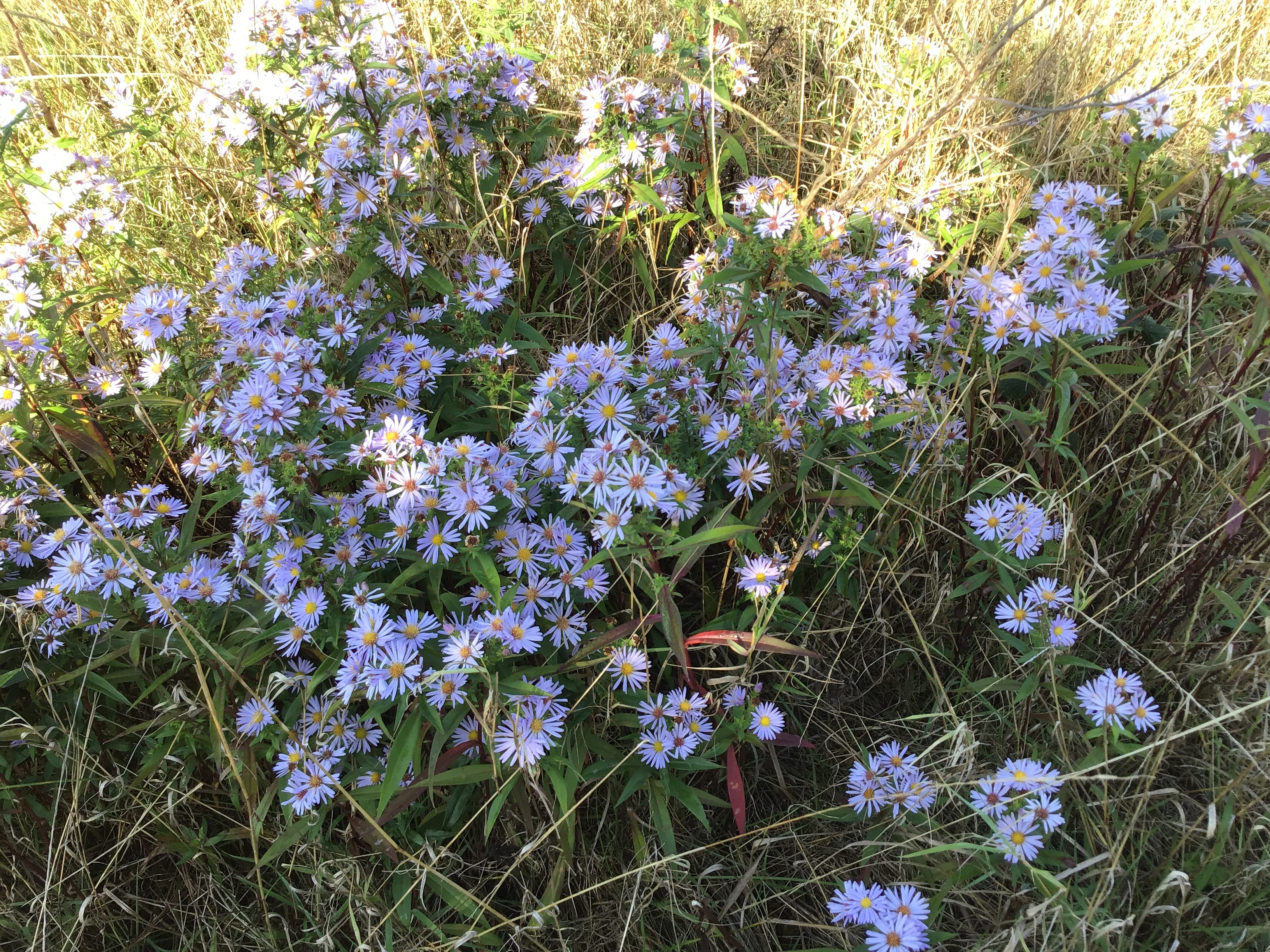
Houses across the water, a flag hoisted over a fence, flapping into a neighbour’s yard. The towpath runs through Freda’s Garden, a linear park named for a woman who lived by the canal and adopted this patch as a community plot, now maintained by local residents. Gerbera daisies, oxeye daisies.
The third bridge rises as the waters part, north-east, south-east, a dead-eyed dash through an industrial estate, the Knottingley and Goole Canal or the Aire and Calder Navigation and the last bridge out of town. I unfold the map and rotate it until I see something like the scene before me.
Eighteen miles to Goole. Less than six hours before the train leaves. Now divide one by the other. Hard arithmetic. There’s no shame in stopping. No-one would know. What would I do. Where would I go. I’m no runner but I run anyway, fifty metres, forty metres, thirty metres, it all adds up.
4.07pm. I see almost nothing of the land to either side, only the ground beneath my feet and the pipelines and bridges and pylons that give some measure to the distance and lift it out of abstraction. Occasionally they all line up. I raise my head and take out the camera. One last picture.
You can’t always start over. You can’t always dig down or cut through. It looks simple from the other side, the fields laid flat to the horizon, no hazards, no obstacles, no contours. The walk is the work of filling in the details. There’s no way around it. It’s easy to forget.
I won’t remember this. Not as it is. As it was. Stumbling to a halt. Spikes in the rubble. Seconds to set up the camera. Leaning into the wire. Late afternoon. Late September. The temperature ticking down. The last few brambles. The land left to settle.
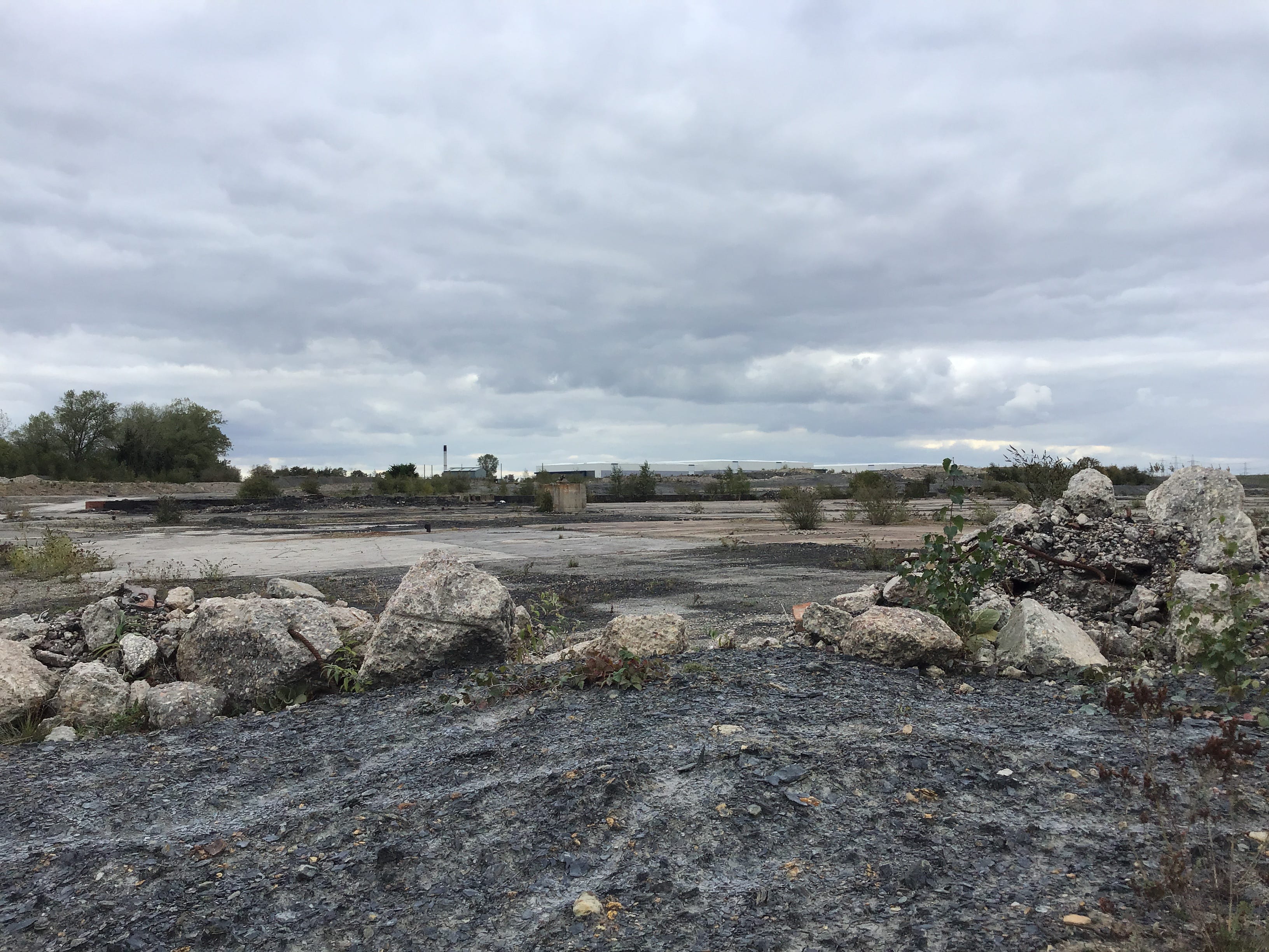
A day’s work. It doesn’t look like much. What is there to show for it. Think of storage. Think of distribution. In every corner. In every direction. Work going on. As far as the eye can see. Work going on. When you’re not looking.
4.30pm. Stubbs Bridge to the pipeline. It’s a mile or so, I can’t run it all, but I can outpace the stalled traffic on the eastbound lanes of the M62. Not for long. The joints are all pain. And the pipeline no closer. I lose the perspective. Then I unfold the map. Two inches to Eggborough.
North Riding. Whitley Bridge. North to south on towpath. Pipeline. A19 bridge. Ascend steps. Vault crash barriers. Cross A19 in break of traffic. Vault crash barriers. Descend steps. M62 bridge. Whitley Lock. Heck Bridge. South to north on towpath. Heck Railway Bridge. East Riding. Pollington Bridge.
6pm. If I can make three miles in the next hour then I stand a good chance. And three miles in the hour after that. And three miles in the hour after that. And whatever is left in the hour after that. Not quite an hour. Forty-five minutes. Or less. Whatever is left by then.
North bank to south bank. Head down and hunched forward. How much of this is exhaustion, how much of this is discomfort, how much of this is pain. No appetite. Nothing that could stir it. I sip water now and then but I know it’s not enough. Crow Croft Bridge. Fleet drain on my right. Sunset.
The last few miles of a land I don’t know. I know how it will go on the other side, where the Went meets the New Junction Canal, the slow turn, the Dutch River. If it all lines up. If I can keep on the right side of the fleet drain. If I knew which side that was. A crossing ahead. A field edge.
Fleet drain on my left. Dusk. An old farm track, parallel to the navigation, it lets me run, badly, but I run. As long as I can. A line in the distance. A line of trees. A boundary. It has to be the New Junction. How do I get there. On the wrong side of the fleet drain. If that’s what this is.
7pm. A culvert. A crossing. The Aire and Calder on my left. A mile to go. Half a mile. Less. Less. Make it less. Stumbling on grass banks. No tread. No path. A narrowboat in the near distance. Pivots and slows. Slips into the south. It tells me where the turn is. The signs appear soon after.
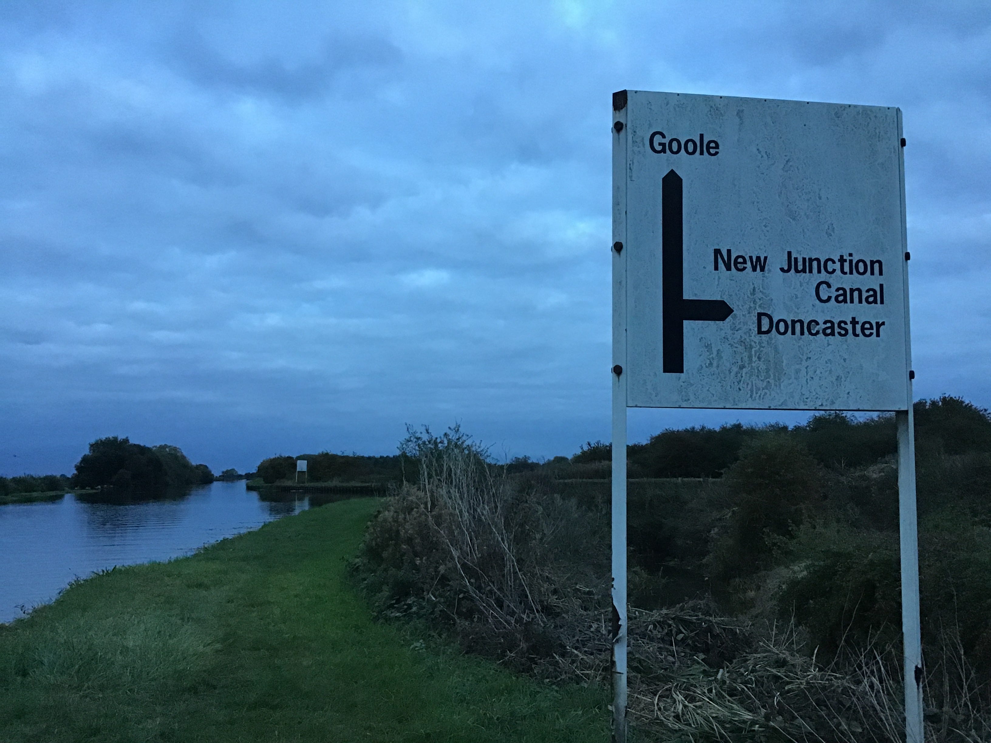
I take a sharp turn right into the New Junction Canal, and still no towpath, no footpath, as such, but no impediments either. The banks thicken and the waters thin and then concrete and rails and the waters below. Then it’s over. If I’m south of the River Went then this must be South Yorkshire.
The footbridge to the east bank. The journey in reverse, not exactly, back across the aqueduct, the dimming Went, and East Yorkshire once more. You know this part. Run until you meet the Aire and Calder. Until you see the buoys of Southfield Reservoir. Run even though you can’t run anymore.
I know this part. I walked this stretch of the Aire and Calder two months ago. I walked it in darkness and uncertainty. I thought that if I met the darkness and uncertainty I would know how to recognise it again. It’s different this time. How far to the first bridge. How far to the next.
7.40pm. The first bridge. Beever’s Bridge. A mile of twist. I run for twenty yards on uneven ground and hit a bump or depression and the pain in my ankles, the right, then the left, forces a halt, no, not a halt, a failing shot at walking pace, then a slow jog, feet barely leaving the ground.
The path is pitted but the line is depthless and true. This doesn’t help with distance but it simplifies the stages. A sharp turn and the second bridge, New Bridge, the one with the height restriction barriers, and if it’s crossing the navigation it must also be crossing the Dutch River.
8.15pm. It’s roughly a mile from one bridge to the next. This is how I remember it. I don’t know if I’m close. I only need to break it down. The M18 is too small. The lights should be brighter. Shuffle and stop. Start again. Magnify the gantries. Another 10%. Overhead and gone. Close enough.
Shin splints or stress fractures. Or sprains. Surely you’d know. Either the grass banks are deteriorating or I am. It’s hard to see. Half a mile east of the motorway bridge, I stop dead at a barbed wire fence, strung the width of the towpath, a fence that wasn’t there two months ago.
There’s no signage on the fence. There’s no way around it. I grasp the top of one of the wooden posts, loosen the stake, and tear it from the soil. Then another. And again. It’s surprisingly easy. When I have cleared a way I stamp on the mesh. Over and over. It crumples like a flag.
No more obstacles. As if saying it will make it so. I am all obstacle. Rawcliffe Bridge, the Navigation Inn, Dean’s Marina. I weave through the moorings, tripping the sensors, and flood the car park with white light. Grope for the exit. Towpath on the left. Half-blind into the last hour.
Two miles to the railway bridge. I’m not alone, the Dutch River is running with me, or against me, I don’t know which way it is flowing. The shared infrastructure. It’s all coming too late. I should have passed the pumping station half an hour ago. The brick drain ought to be here by now.
9.10pm. A sign. I screw up my eyes. Animal Escape Ramps Ahead. I’m not hopeful. The pain is the same whether I walk or run. So I run. Then walk. Then run. If I can make it to the railway bridge. No sign. Two minutes. No sign. Five minutes. The cable and winch. A sign. Bridge 24. Goole Railway.
I hook my thumbs into the straps of my rucksack. The walk still seems unfinishable. But also finishable. The white gravel track slopes away from the Aire and around the ready-mix concrete plant and the last mile of the Dutch River. Marina. Terminal sheds. The valve house for the swing bridge.
9.40pm. Dry bulk silos. Safety barriers the length of Bridge Street. Roadworks through the night. Try to get ahead of the pain. Is that a sign. Stanhope Street for the station. That can’t be right. I can see the station, the lights of the station, off to the left. Still I follow the sign.
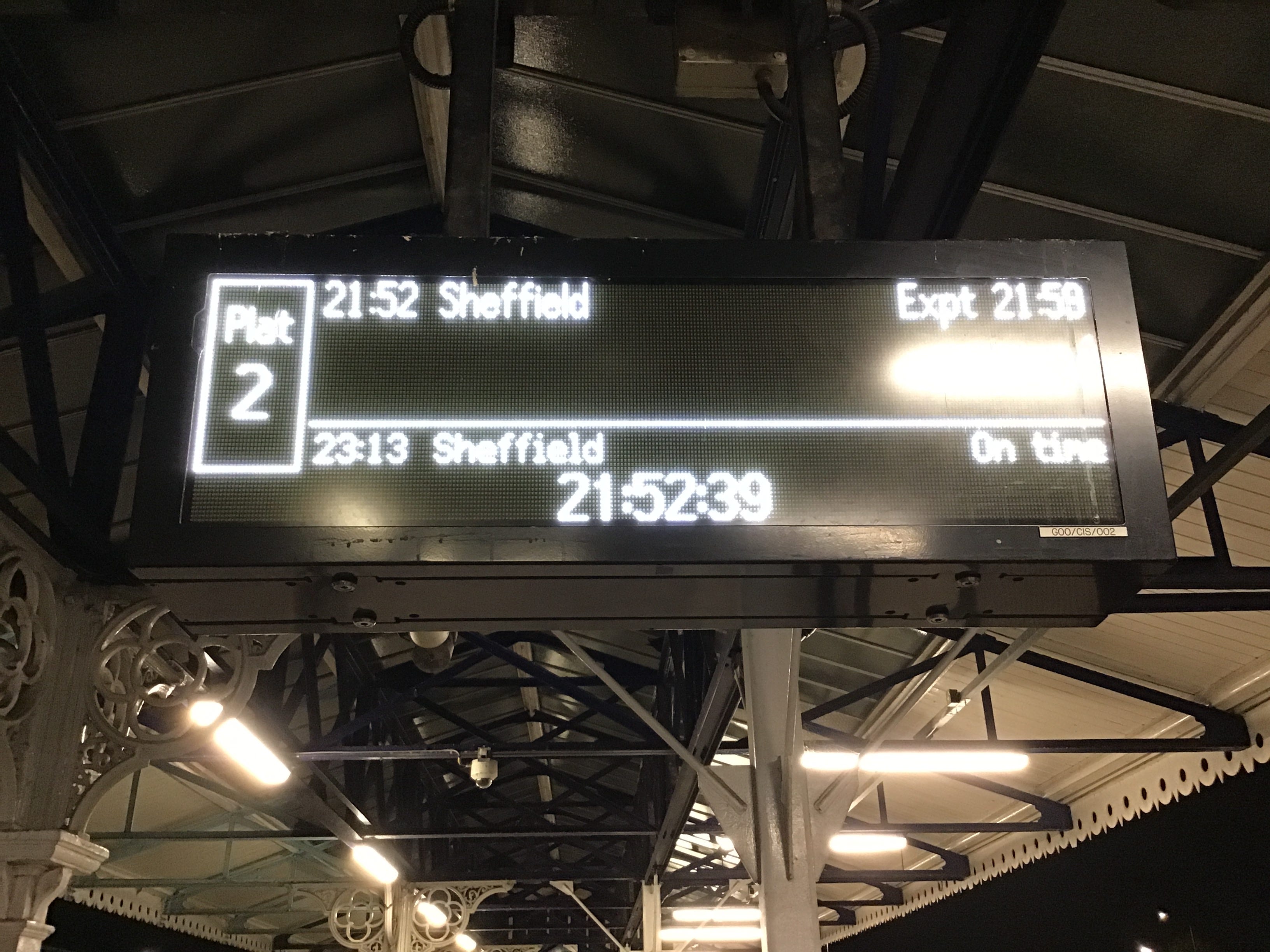
9.46pm. It isn’t possible to lose oneself in Goole town centre. Somehow I’ve managed it. The first left. The precinct. And the lights at the end. The station. On the other side of the crossing. Which platform for Sheffield. I should remember. This one for the north. This one for the south.
Click here for details of Remember Oluwale / The David Oluwale Memorial Association. ‘Dutch River’, an account of a night walk from Kirk Sandall to Goole, appears here.
i.m. Richard Eason (1973-2025)
A striking journal of navigation and memorial. Thanks Brian.
gosh, I'm so sorry, what a powerful piece of writing